Abstract
Knowledge of the world soil resources is fragmented and dated. There is a need for accurate, up-to-date and spatially referenced soil information as frequently expressed by the modelling community, farmers and land users, and policy and decision makers. This need coincides with an enormous leap in technologies that allow for accurately collecting and predicting soil properties. We are working on a new digital soil map of the world using state-of-the-art and emerging technologies for soil mapping and predicting soil properties. Our aim is to map the global land surface in 5 years – the resulting maps will depict the primary functional soil properties at a grid resolution of 90×90 m. They will be freely available, web-accessible and widely distributed and used.The maps will be produced by a global consortium with centres in each of the continents: NRCS for North America, Embrapa for Latin America, JRC for Europe, TSBF-CIAT for Africa, ISSAS for parts of Asia and CSIRO for Oceania. This new global soil map will be supplemented by interpretation and functionality options that aim to assist better decisions in a range of global issues like food production and hunger eradication, climate change, and environmental degradation. In November 2008, a grant of US$18 million was obtained from the Bill & Melinda Gates Foundation to map most parts of Sub-Saharan Africa and make the underlying data available. From this grant there are funds for coordinating efforts in the global consortium.
1. Introduction
There is no comprehensive digital map of the world’s soils. This lack of easy-to-use information results in inappropriate or ineffective policies at the district, national and continental levels that affect food production and result in unnecessary land degradation and increased greenhouse gas emissions. Organisations involved in research at the global scale need accurate and geo-referenced soil information to assess and predict the environmental impact of different land-use scenarios. A digital fine-resolution global soil map would enable climatologists, hydrologists, crop modelers, foresters and agricultural scientists, among others, to better predict the effects of climate change or new technologies on food production and environmental health. In some instances, crop failure due to drought or excessive wetness could be identified in early-warning systems in ways that are relevant to policymakers.
Within the last decade, we have witnessed remarkable progress in Earth observation techniques and prediction of soil properties from data generated by remote and on-the-ground sensors. At the same time, statistical techniques have been developed that enable prediction of soil properties in areas with little or no information as well as indicating the uncertainty of such predictions. Soil spectral analysis is becoming a robust and cheap tool for identifying soil functional attributes. The digital revolution that has transformed many of the sciences is now creating new possibilities in soil science, agronomy, forestry and environmental management.
2. The existing soil maps
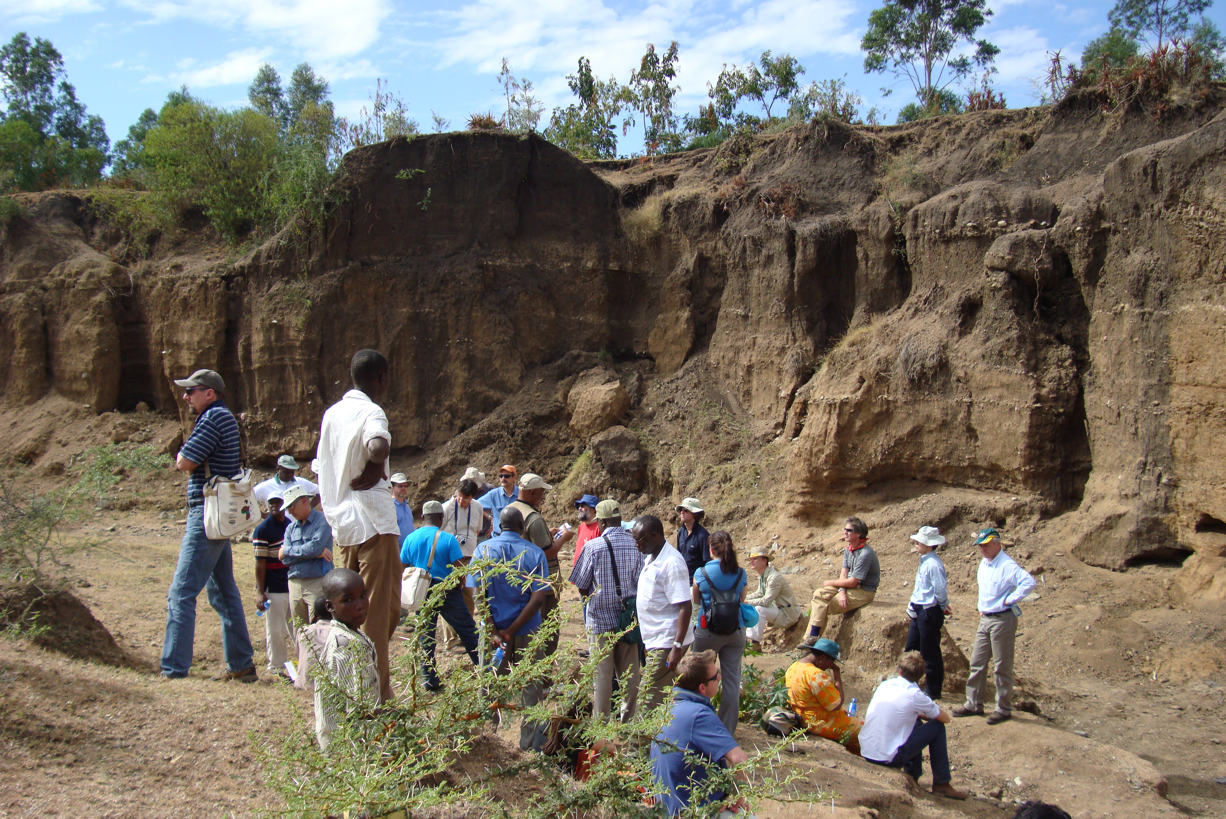
Soils have been mapped by systematic field observations complimented with laboratory analysis and analogue cartographic methods. The survey coverage varies in detail and quality around the world and many poorer countries have insufficient information for even rudimentary land planning and management. Most soil maps are polygon maps showing the characteristics of
soil types. These maps have a long history of being useful for generalized land-use planning and management. However, they have some major drawbacks:

They are static. The maps do not provide direct information on the dynamics of soil condition (e.g. rates of nutrient depletion), but this is the very information needed by farmers and policymakers.
They are inflexible for quantitative studies. Such studies (e.g. food production, erosion hazard, carbon balance) generally require information on the
functional properties of a soil (e.g. available water capacity, permeability, nutrient supply) rather than a soil name (e.g. a polygon labeled “Kikuyu red loam” tells very little about how much nitrogen it can supply to a maize crop for the following season).
Information is lost. The traditional map and report presents a highly summarized account of the soils of a region. The loss occurs because the reporting format requires information to be condensed and data to be classified.
The information is often presented at a scale that is seldom useful for the particular question.
The data model implicit in polygon maps is difficult to integrate with most other forms of natural resource data that are grid based (e.g. satellite imagery, digital elevation models, climate data).
Polygon mapping was a sensible solution in the pre-digital era, but digital methods allow for completely new ways of acquiring, disseminating and using soil information. Online geographic information systems, in particular, allow us to dramatically improve access to information on the functional properties of soils.
The current state of affairs is dire. There is one global soil map at a scale of 1:5 million (FAO UNESCO) that was produced between 1971 and 1981. Based on soil surveys conducted between the 1930s and the 1970s, these class maps show the distribution of soil types using FAO terminology. Inevitably, the information behind the map is uneven and little-to-no information was available from several important regions. The FAO-UNESCO maps were digitized in vector format in 1984. In the mid 1990s, a 9-km raster version was produced by FAO, but with no improvement in the content. A digitized map does not constitute a digital map.
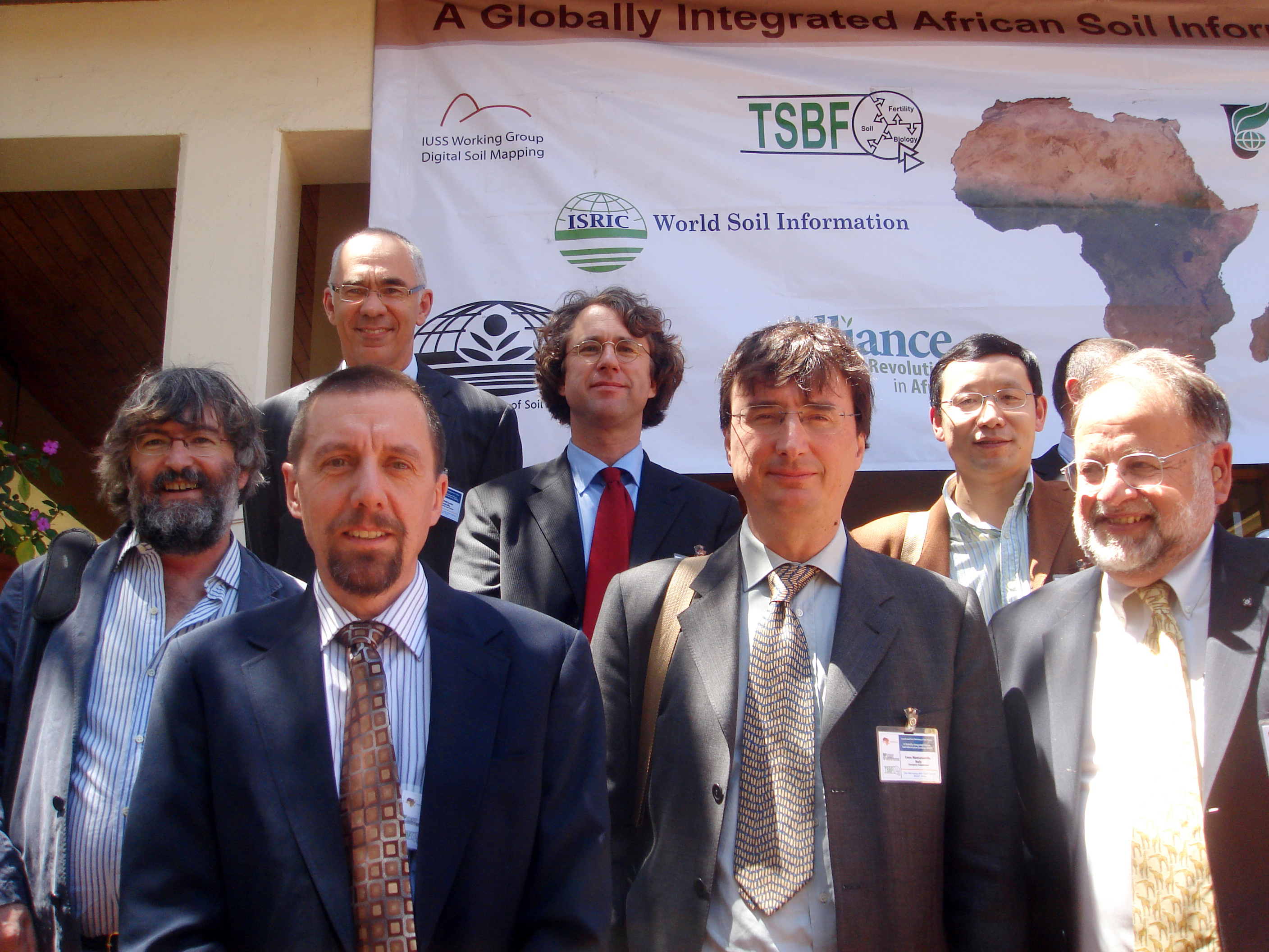
3.Objectives of GlobalSoilMap.net
GlobalSoilMap.net is being developed to provide primary soil data in a form that will meet the demands of a broad range of users, including governments, natural resource managers, educational institutions, planners, researchers and agriculturalists. The online system will provide access to the best available soil and land resource information in a consistent format across the globe – the level of detail and reliability will depend on the survey coverage and field data available in each region. A priority will be to provide the global scientific community with soil information in a format that can be readily used for modeling and evaluation studies (e.g. options for climate adaptation, carbon dynamics, potential food production). The process will also enable scientists from all parts of the world to exchange information and benefit from the rapid changes in technology.
4. Outputs of GlobalSoilMap.net
GlobalSoilMap.net will provide access to fine grain data on a consistent set of soil functional properties that define soil depth, water storage, permeability, fertility and carbon. Users will be able to access and apply
GlobalSoilMap.net in a variety of ways to suit their purposes. They may want to simply view and manipulate the data online (e.g. compare the soil patterns with satellite imagery or maps of land use). They may then compose and print local maps by combining several sources of online data (e.g. soil, climate, terrain and infrastructure). More sophisticated users may have portable computers with online geographic information systems that give field investigators access to useful information for their work. High-end users may take the outputs from
GlobalSoilMap.net and supply them as inputs to sophisticated computer models for estimating food production or carbon dynamics.
GlobalSoilMap.net will provide users with an estimate of the uncertainty of each attribute for each grid cell. In the longer term, new sources of data will feed automatically into GlobalSoilMap.net and the uncertainties for attributes will decrease. While the information on uncertainty provides useful qualitative advice to a user, the real benefit will be for scientists, engineers and planners who need to translate their analyses of food security, impacts of climate change and so forth, into assessments of risk for decision makers. The final results may be expressed in a relatively simple form (e.g. the farming districts of Region A will fail to produce sufficient grain for local communities in 1 year out of 5), but the underlying computations will have been sophisticated.
Worldwide, numerous of decisions are made every day on how to use soil and land. These range from specific on-site judgments with immediate actions, such as the decision of a farmer to fertilize a field, or a forester to establish plantations for firewood – through decisions by governments on policy (e.g. carbon trading) that may affect every part of their jurisdiction. Whatever the context, information is needed for sound decisions. Decisions and policies made in the absence of such information lead to inefficient use of resources and environmental degradation.
GlobalSoilMap.net will help us assess what resources we have, their quality, and how to manage them to produce food and fiber, to secure water supplies and to conserve valuable assets (e.g. biodiversity within the soil).
The
GlobalSoilMap.net project has started well with excellent support from key funders (e.g. Bill and Melinda Gates Foundation, lead agencies for each Node). However, significant new funds are needed to ensure the project can help rectify years of under-investment in one of our most fundamental resources for life on Earth – the soil. This need is greatest in South America, North Africa, East Asia and Oceania.
www.globalsoilmap.net 