See more coverage of this event on the main IISD ENB website

We have launched a new website to better share our reports of global environmental negotiations.

As well as current coverage of new negotiations, you can find our original reports from this event by clicking here.

Share on Facebook Share on Twitter Share on Google Plus

12th Plenary Session of the Group on Earth Observations (GEO-XII)
and GEO 2015 Mexico City Ministerial Summit

9-13 November 2015 | Mexico City, Mexico


Highlights for Monday, 9 November 2015

Download ENB+ Meeting Report

Report:
Summary

Receive our ENB+ bulletins and reports by email:

Photo Usage Information
Sustainable Development Policy & Practice
Loading...

Receive emailed updates with the news articles above plus related information and announcements from our SDG community mailing list:

Daily Web CoverageAbout | 9 Nov | 10 Nov | 11 Nov | 12 Nov | 13 Nov | Summary

View of the city from the Ministry of Foreign Affairs, Mexico City

IISD Reporting Services, through its ENB+ Meeting Coverage, has provided daily web coverage and a summary report from the 12th Plenary Session of the Group on Earth Observations (GEO-XII) and GEO 2015 Mexico City Ministerial Summit. Our summary report is available in HTML or PDF format.


Data Sharing Principles, Requirements and Implementation in
Lower and Middle Income Countries (LMICs)

Organized by the Committee on Data for Science and Technology (CODATA) Task Group on Preservation of and
Open Access to Scientific and Technical Data in/for/with Developing Countries (PASTD),
and Group on Earth Observations (GEO) Data Sharing Working Group (DSWG)


Participants attending the side event


The workshop, chaired by Xiang Zhou, Chinese Academy of Sciences and Co-Chair, CODATA/PASTD, sought to develop implementation guidelines for the Data Sharing Principles in Developing Countries, agreed in Nairobi, Kenya in August 2014 (“Nairobi Principles”) to address specific issues for sciences and the Sustainable Development Goals (SDGs). The workshop also sought to improve understanding of the benefits and challenges of data sharing in developing countries.

Barbara Ryan, Director, GEO Secretariat, and Cyndy Chandler, UNESCO, underscored the economic value of open data policies and the importance of resource availability and capacity building, particularly in LMICs.

Paul Ulhir, National Academy of Sciences, US, presented the ten GEO and CODATA data sharing principles, calling for: data to be open and unrestricted, free to end users, informative and assessed for quality, easy to access, interoperable, sustainable and restricted for a limited time if justified; data sharing to be timely; credit to be given to data contributors; and data access to be equitable.

Mustapha Mokrane, International Council for Science (ICSU) World Data System, spoke about the need for increased geographic balance and improved interdisciplinary coverage of data systems. He explained an ICSU certification procedure covering the Nairobi Principles and addressing the following four areas: general requirement and policies; organizational framework; management of data, product and services; and technical infrastructure.

Chuang Liu, Chinese Academy of Sciences, explained the data management policies of the Global Change Research Data Publishing and Repository as one implementation model.

In a second session, participants broke out into five small groups to discuss five aspects of Nairobi Principles implementation: data should be open and unrestricted; data should be free to the end users; data should be informative and assessed for quality; data sharing should be timely; and data should be easy to find and access.


Xiang Zhou, Chinese Academy of Sciences and Co-Chair of CODATA/PASTD, introduced the workshop as a forum for sharing information and discussing implementation of the Nairobi data sharing principles.

Barbara Ryan, Director, GEO Secretariat, said economic benefits of open data policies could contribute around
US$2 billion globally.

Paul Uhlir, National Academy of Sciences, US, presented the GEO and CODATA data sharing principles and encouraged participants to engage in the preparation of guidelines for their implementation.


Chuang Liu, Chinese Academy of Sciences, discussed the Global Change Research Data Publishing and Repository policies on dataset submission for publishing, peer review, data quality control, data long-term preservation, data sharing, data services statistics, and policing the "10% rule" on citations of original datasets.

Mustapha Mokrane, ICSU World Data System, said there is a need to be careful with the implementation of data sharing and then maintaining the sustainability of those data services, noting the important role of funding in doing so.


Participants during the session

More Information:

www.earthobservations.org

Contacts:

Chuang Liu, Chinese Academy of Sciences
lchuang@igsnrr.ac.cn


Architecture Implementation Pilot 8 (AIP-8)

Organized by the Open Geospatial Consortium (OGC)

Participants during the session

This event, moderated by Bart de Lathouwer, OGC, demonstrated pilot activities undertaken within AIP-8.

Mattia Santoro, Institute of Atmospheric Pollution Research (CNR-IIA), Italy, presented on the GEO Discovery and Access Broker Application Program Interface (DAB-API), noting a key objective to support and facilitate the creation of clients exploiting the DAB functionalities by connecting users with different systems using JavaScript libraries.

Lionel Menard, MINES ParisTech, France, presented a sensor web enablement project supported by ConnectinGEO, enabling in-situ observations of surface solar irradiance (SSI). Underscoring the essential nature of SSI as a climate variable, he noted a key use of the project to provide resources for users such as policymakers.

David Arctur, the University of Texas at Austin, presented on GEOSS Water Services, publishing national and global stream flow and flood forecasts to produce a global water information system. He noted a major breakthrough made in the past year in continental scale flood flow forecasting through the Routing Application for Parallel computation of Discharge (RAPID).

Presenting on capacity building, Lucia Lovison-Golob, Afriterra, explained the strategy to reach out to different agencies to develop skills and knowledge of people within organizations, pointing to a need for more focus on “capability building.”


Mattia Santoro, CNR-IIA, Italy, explained the “from many to many” pattern of GEO-DAB, connecting many users, applications, portals and clients to many community resources.

Lionel Menard, MINES ParisTech, France, explained that there are currently no major SSI in-situ networks dedicated to renewable energy.

Jonas Eberle, Friedrich-Schiller-University Jena, Germany, presented the Earth Observation Monitor, a globally available web portal and mobile application, providing standard-based time series data access and geo-processing services for earth cover change detection in specific locations.


Bart De Lathouwer, OGC, pointed to the aim of COBWEB to include semantic annotations, suggesting that further information would be needed to decide which reference vocabulary to choose.

Lucia Lovison-Golob, Afriterra, highlighted the sporadic nature of workshops as an issue for capacity building in Africa.

More Information:

www.earthobservations.org

Contacts:

Bart de Lathouwer, OGC
bdelathouwer@opengeospatial.org


GEOSS Water Services Publishing National and Global Streamflow and Flood Forecasts

Organized by the Community for Hydrologic and Spatial Information for Latin America and the Caribbean (CIEHLYC)
and Open Geospatial Consortium (OGC)


Participants during the side event

The event, moderated by David Arctur, University of Texas at Austin, US, discussed progress and next steps in the development of web-based applications for sharing data and predictions for streamflow and flooding, with a particular focus on the example of large scale hydrological simulation models in the US and the potential to bring the use of these tools at the local level worldwide.

Arctur presented an overview of examples of new applications of hydrological data collection and processing worldwide. He underscored the lack of a global water information system and described steps taken towards building international data exchange standards, including activities carried out in the framework of the OGC Hydrology domain working group of the World Meteorological Organization’s (WMO) Commission for Hydrology. Among other initiatives, he described the RAPID model developed in the US for hydrological predictions.

Angelica Gutierrez-Magness, US National Oceanic and Atmospheric Administration (NOAA) and AmeriGEOSS, presented the AmeriGEOSS initiative, which was launched in 2014 as a regional effort to contribute to the GEO Global Water Sustainability (GEOGloWS).

Steve Kopp, Esri Software Development, presented a modular framework for global runoff impact analysis. He explained the framework helps turning weather forecasts into informed hydrologic decisions using GIS and decision support tools. He gave examples of web-based applications of the framework for different purposes.

Jim Nelson, Brigham Young University, US, presented examples of capacity building for web-based hydrological data and tools in Latin America, describing the experiences of the CIEHLYC catalog, National Flood Interoperability Experiment US (NFIE US) using the European Centre for Medium-Range Weather Forecasts (ECMWF) model, and the Global Flood Interoperability Experiment (GFIE) stream flow prediction tool in Colombia, Greece and New Zealand.


David Arctur, University of Texas at Austin, US, presented an overview of recent developments in streamflow prediction applications highlighting examples from the US, Italy and New Zealand.

Angelica Gutierrez-Magness, US NOAA and AmeriGEOSS, noted the GEOGloWS provides a framework for enabling GEO members to address many of the recommendations of the GEOSS Water Strategy.


Steve Kopp, Esri Software Development, described a template to easily create and publish interactive web applications for response planning for hydrological events such as floods.

Jim Nelson, Brigham Young University, US, underscored the importance of good water data and forecasts and the capacity and tools to manage them.

More Information:

www.earthobservations.org

Contacts:

David Arctur, University of Texas at Austin
david.arctur@utexas.edu


Land Cover: Harmonized Pathways Towards Policy Needs

Organized by the GEO Secretariat and UN Statistical Division


Participants during the side event

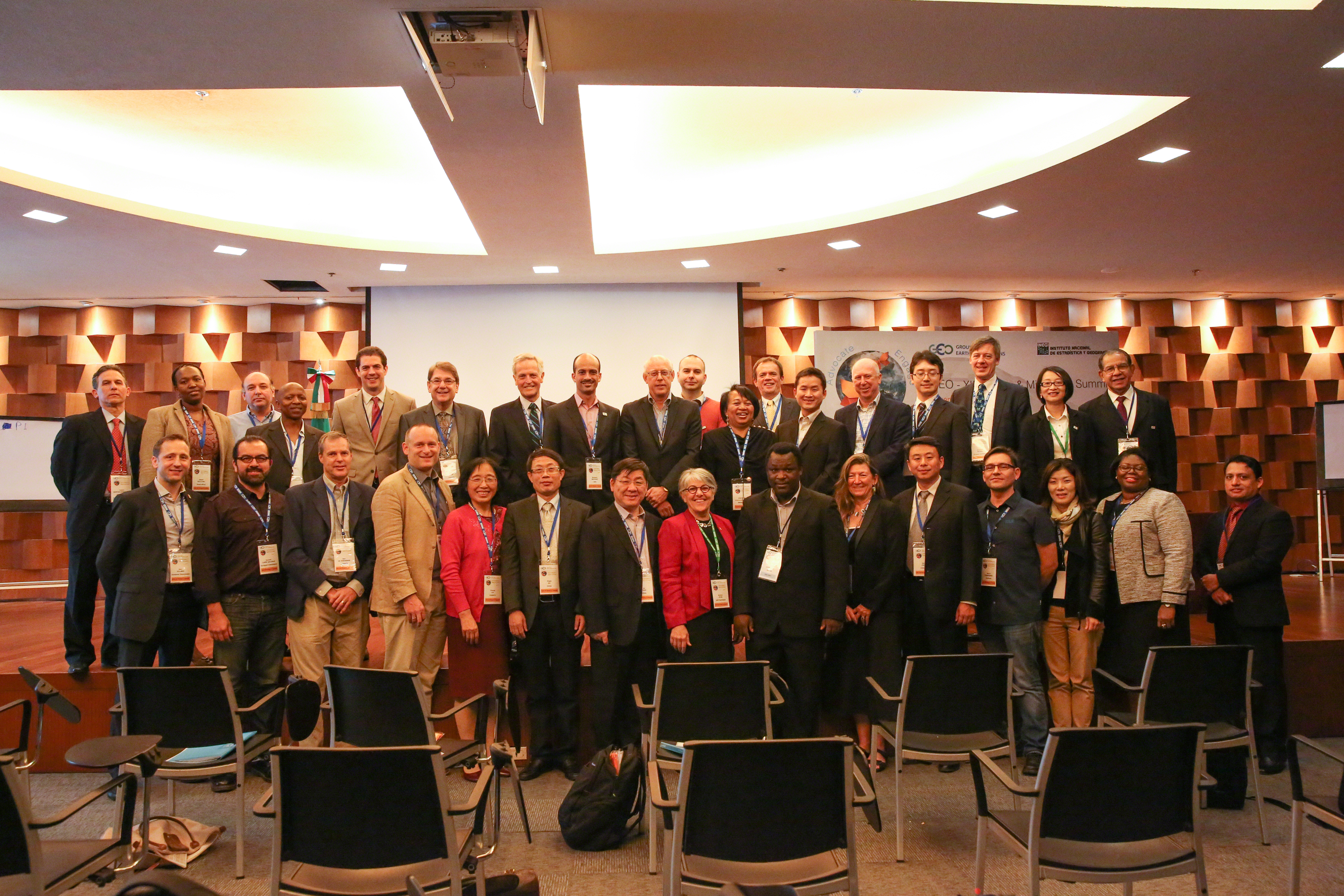
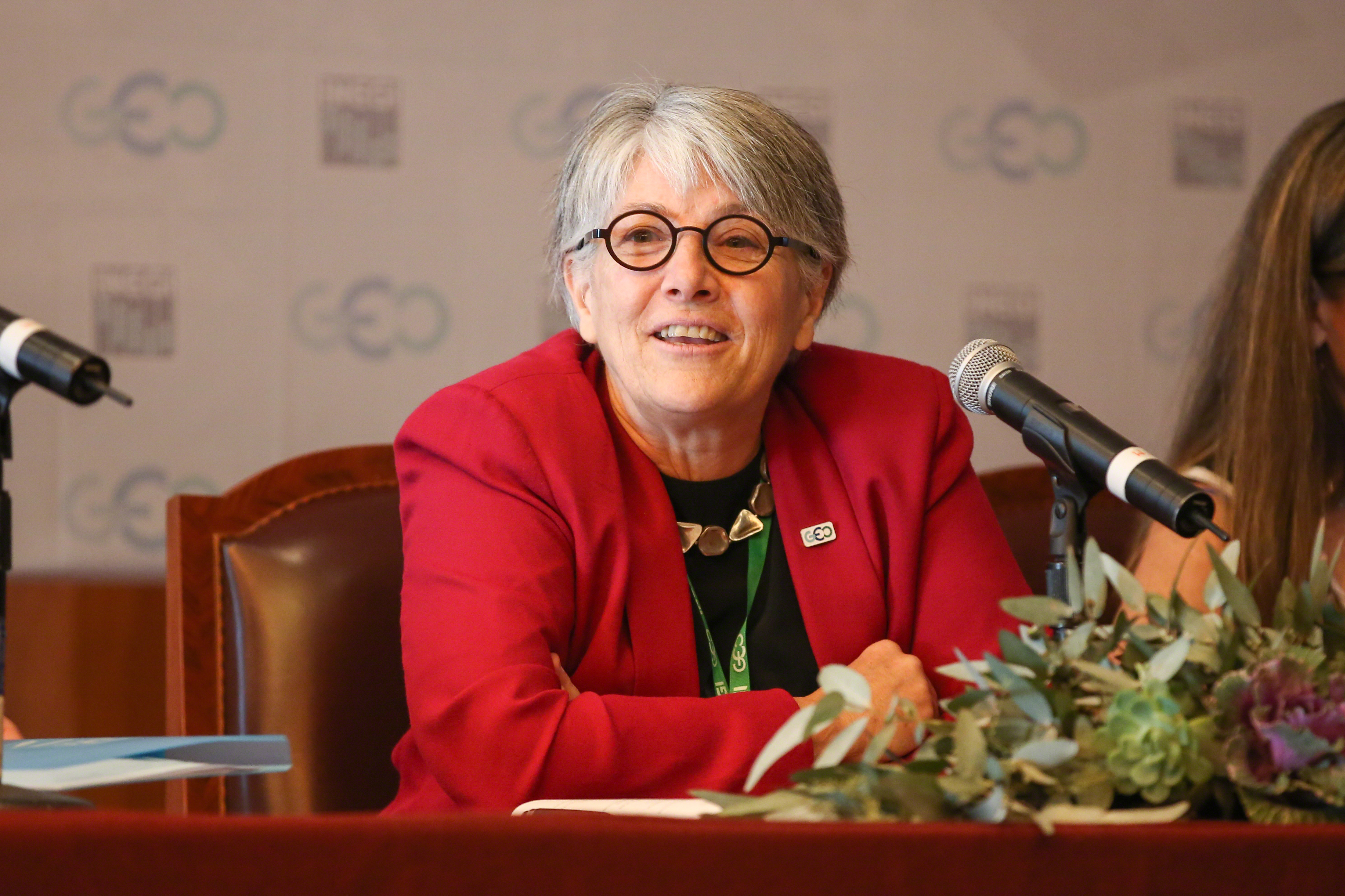
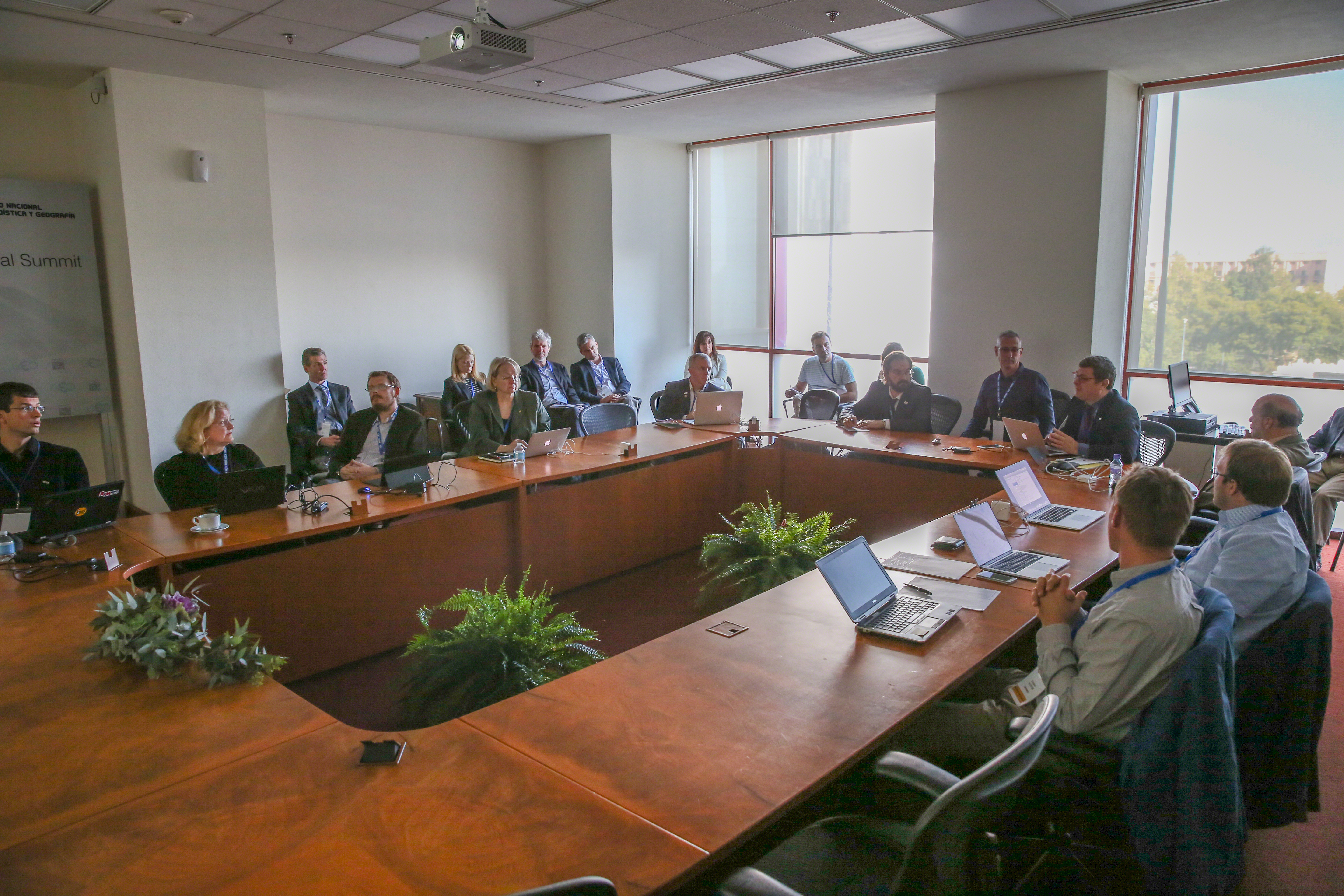
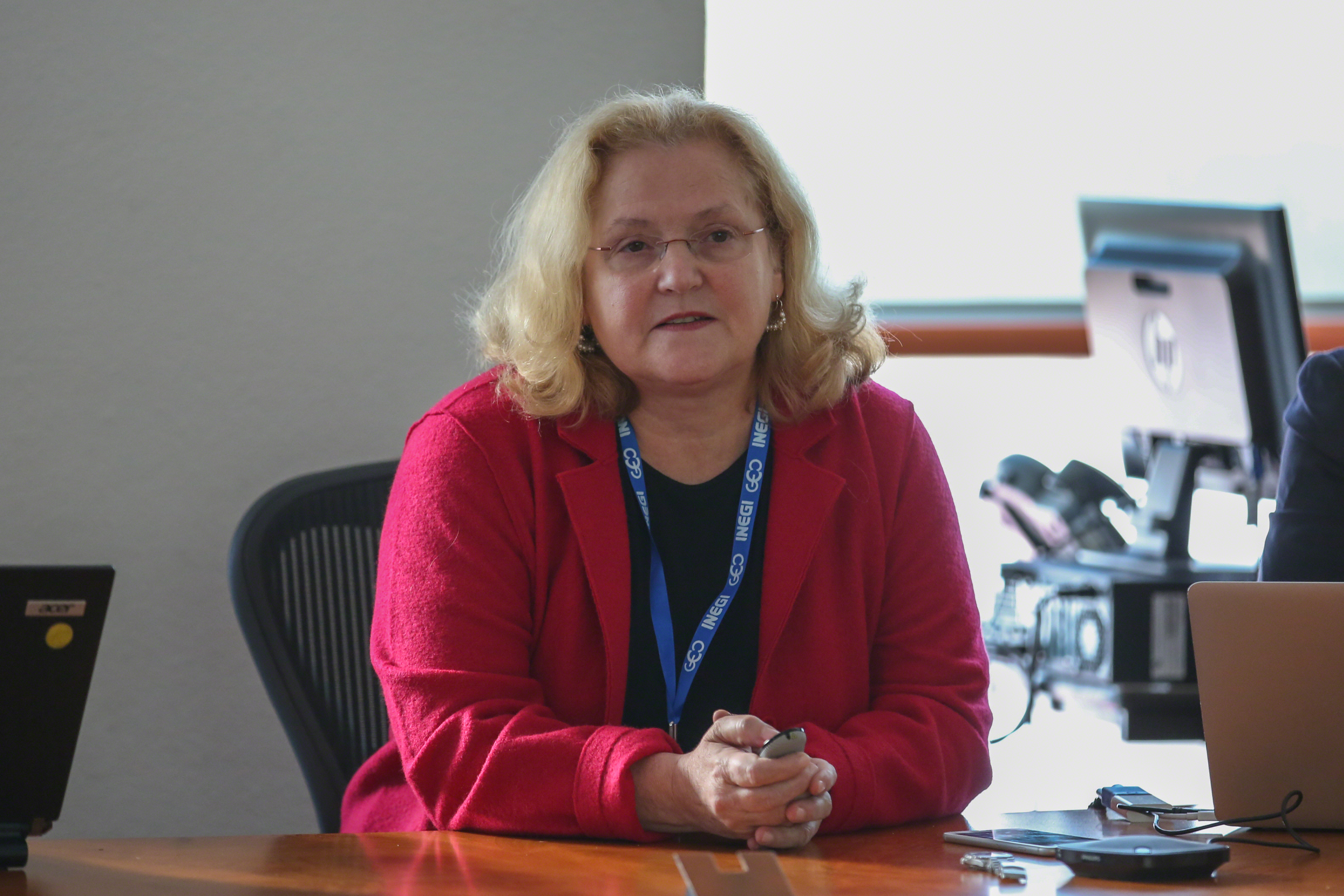
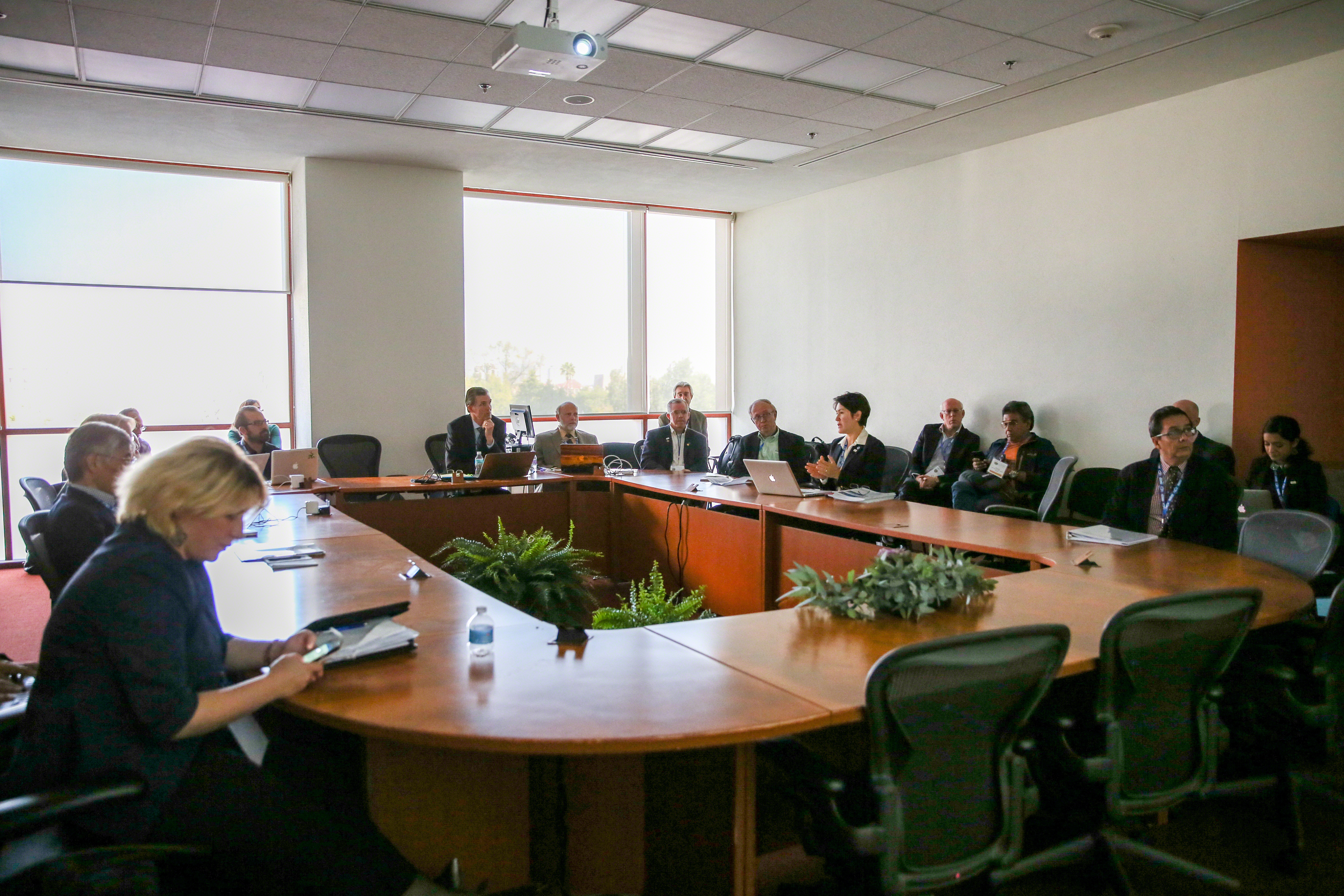
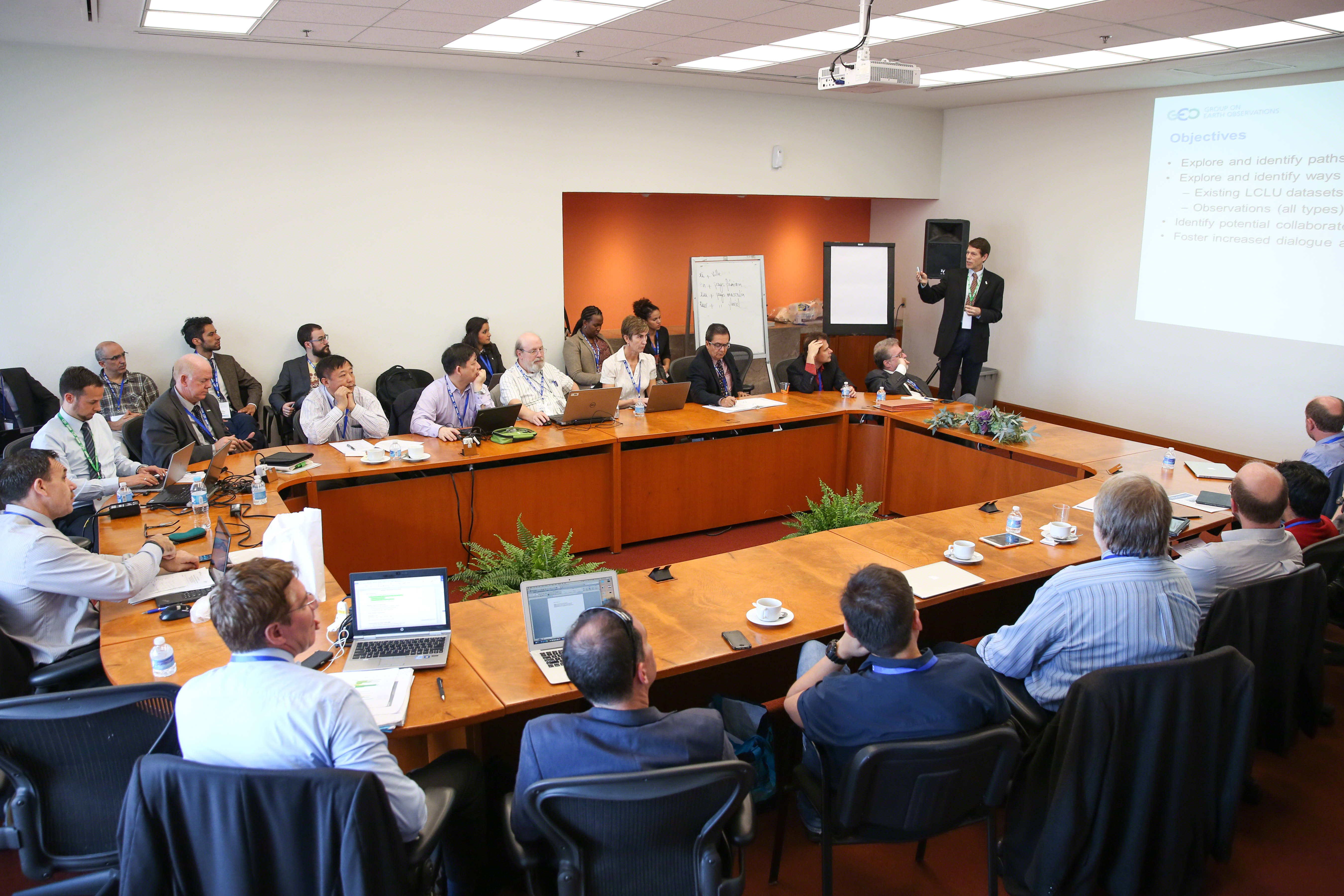
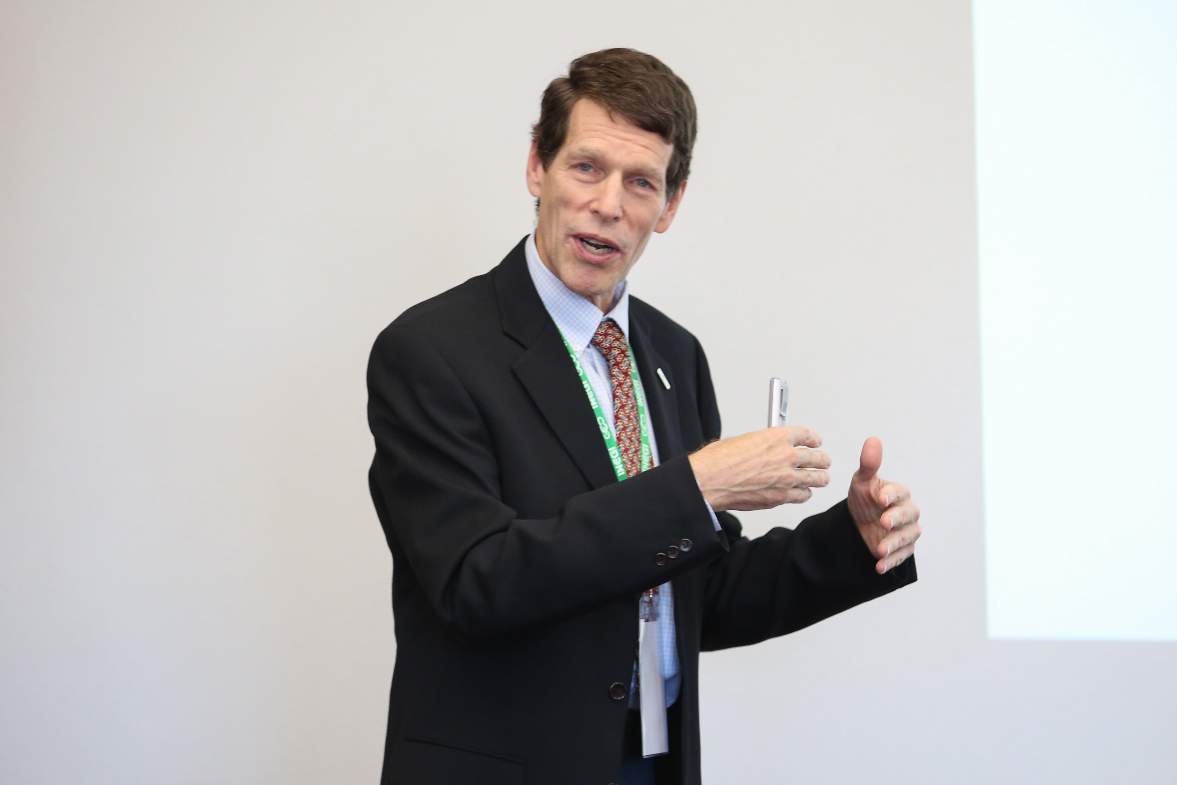
The event, moderated by Gary Geller, GEO Secretariat, discussed land cover data needs of different players, datasets harmonization and guidance for the GEO Land Cover task. Barbara Ryan, Director, GEO Secretariat, urged participants to focus on harmonization of the activities of groups developing land cover (LC) datasets.

Michael Bordt, UN Statistics Division, highlighted areas for collaboration on assessing and improving global land cover data, establishing a global spatial reference grid and developing an international standard land cover classification. He added that countries need baseline data in order to track progress from 2016 to 2030.

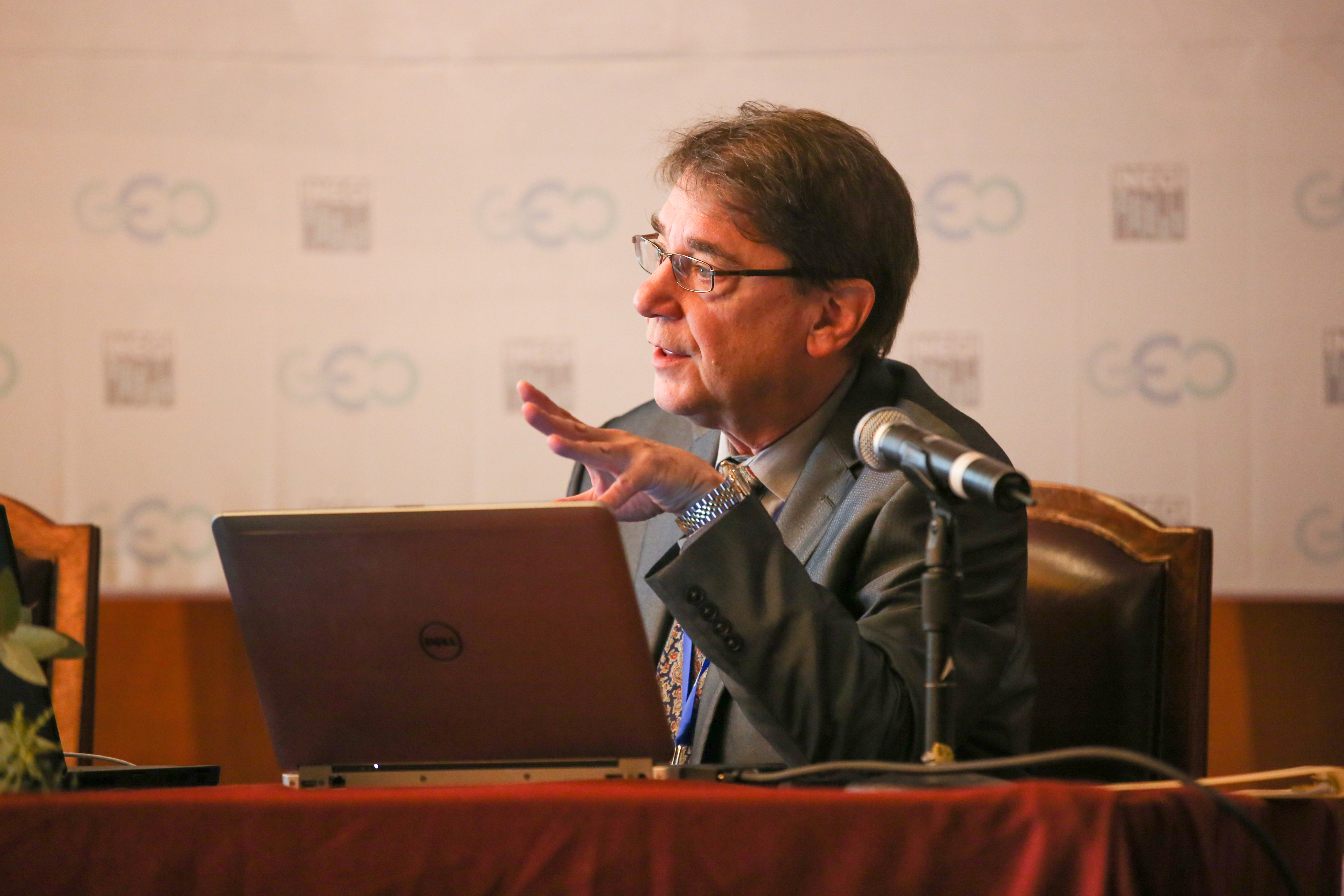
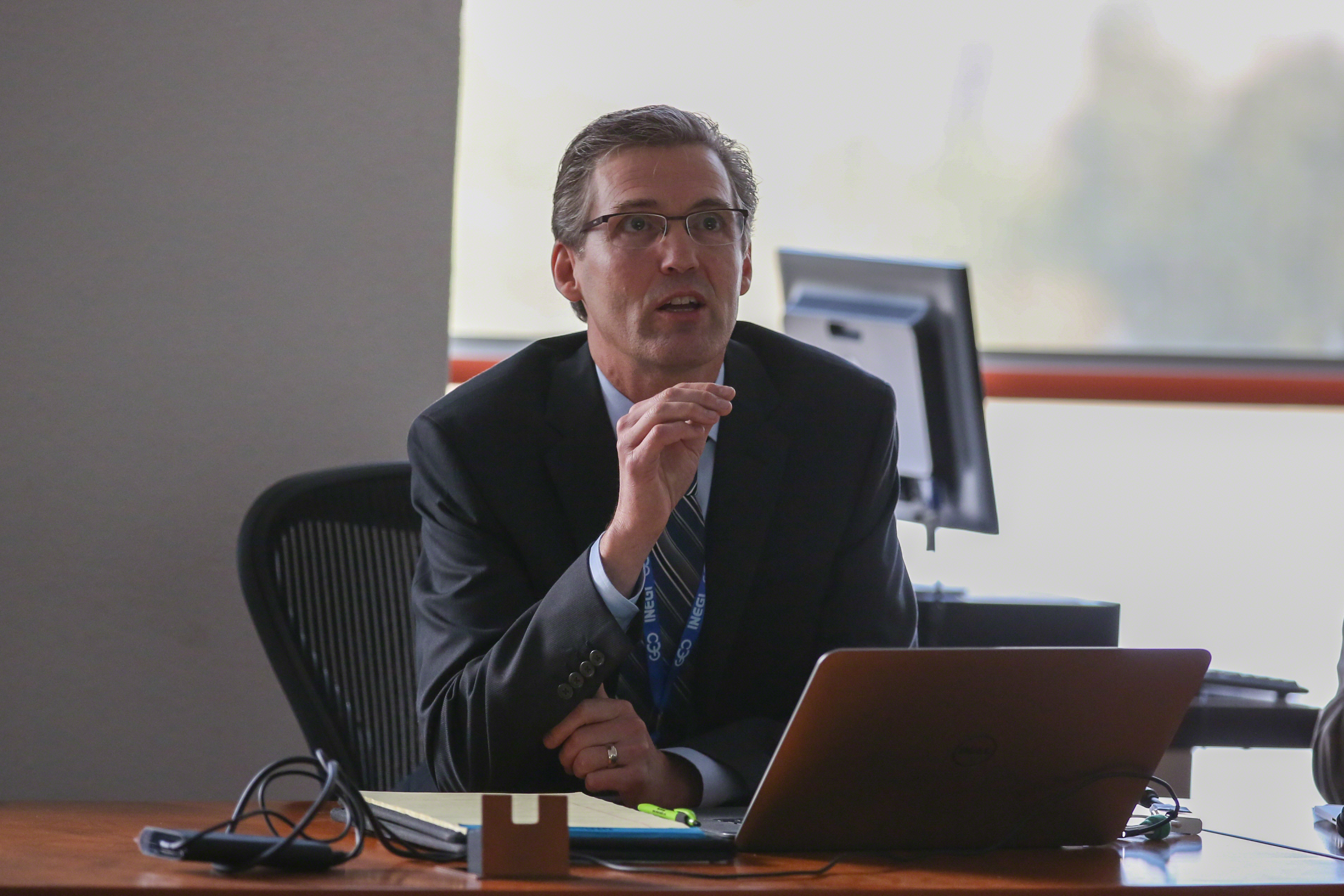
Alan Belward, European Commission, said the demand for reliable, on-demand, and yearly global land cover information is growing and noted the need to standardize legends, classifications, and accuracy requirements.

In the ensuing discussion, dataset users focused on inter alia: the need for accuracy, consistency and completeness of global datasets; temporal resolution and more information on vegetation and resolution on the classes, conditions and composition of vegetation; and the value of national ownership of the datasets. Dataset producers focused on, inter alia, country level dataset generation, in which the classification scheme is identified by the individual country and using national maps as “feed stock for global mapping,” as rich national datasets are often lost or unshared.

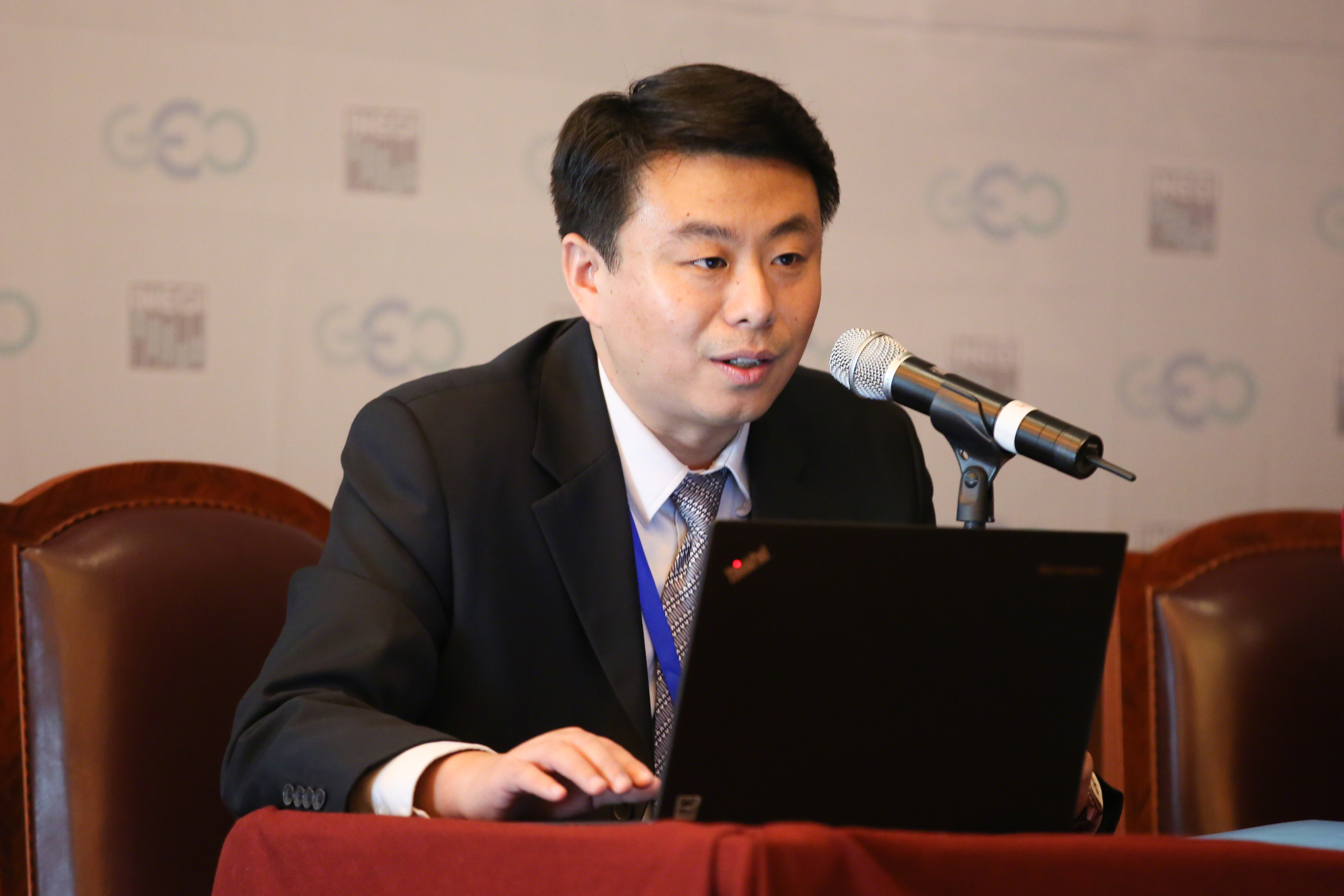
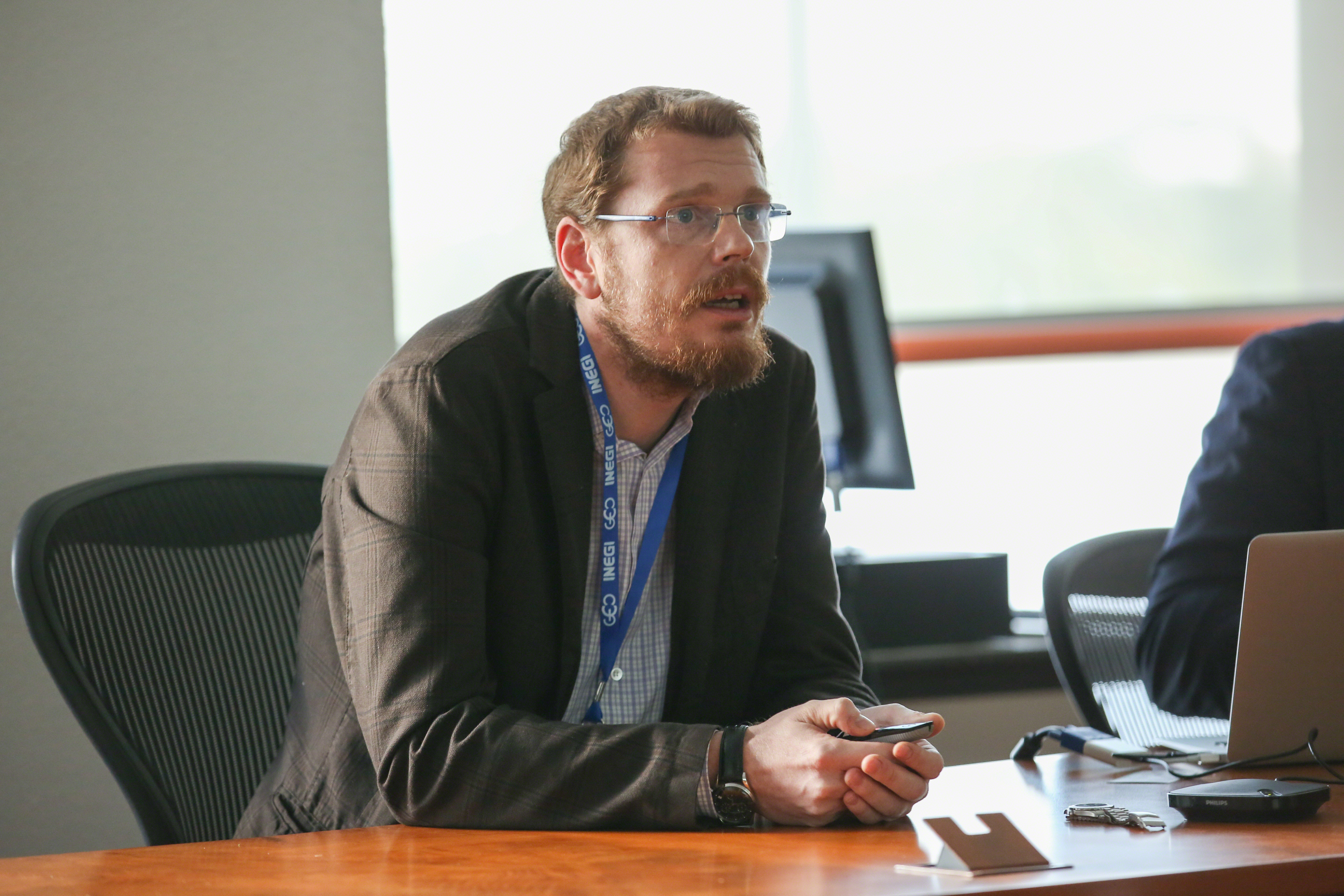
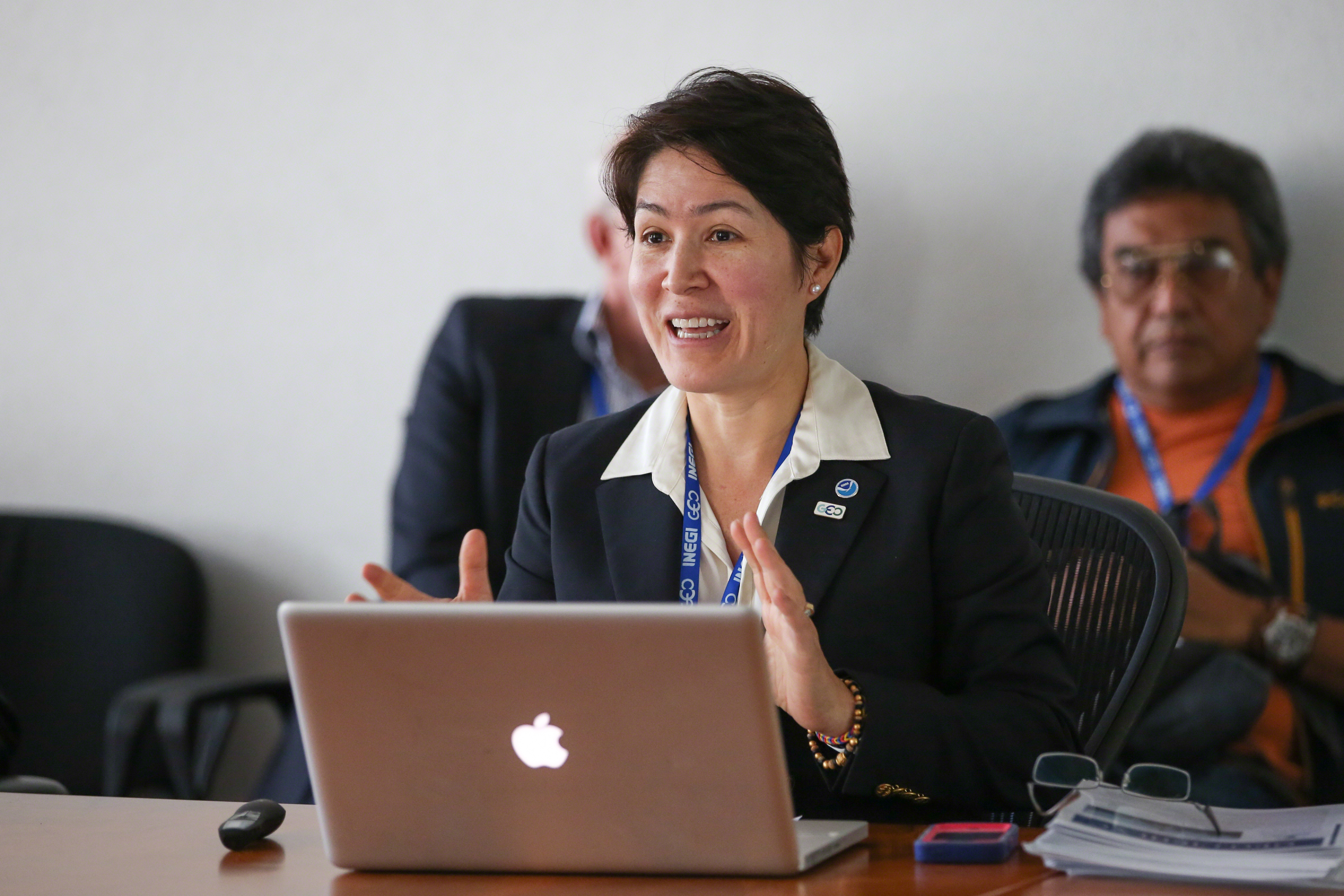
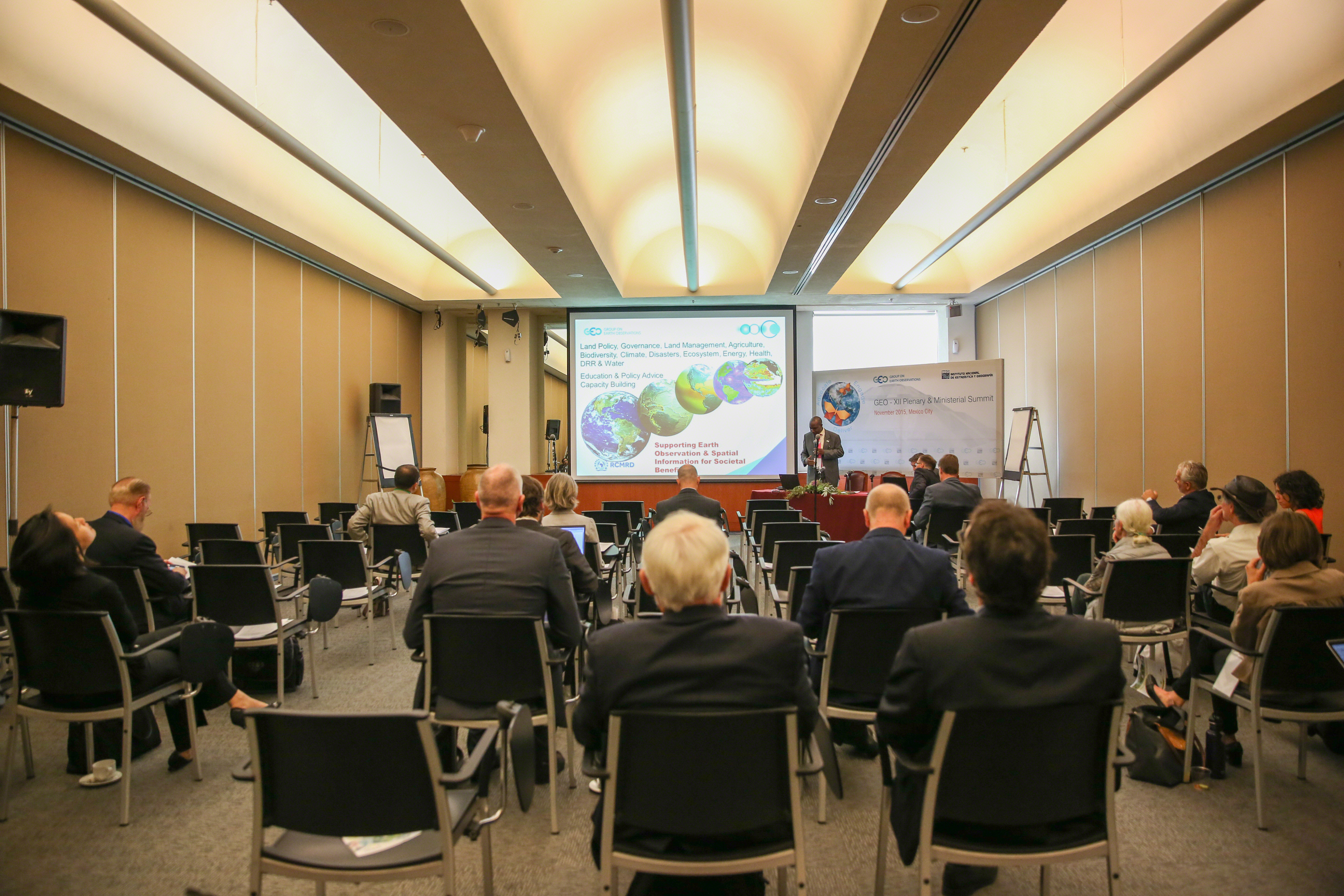
Jun Chen, National Geomatics Center, China, presented the collaborative platform for global land information (CoGland), and Yuqi Bai, Tsinghua University, presented the GEO Land Cover Portal.

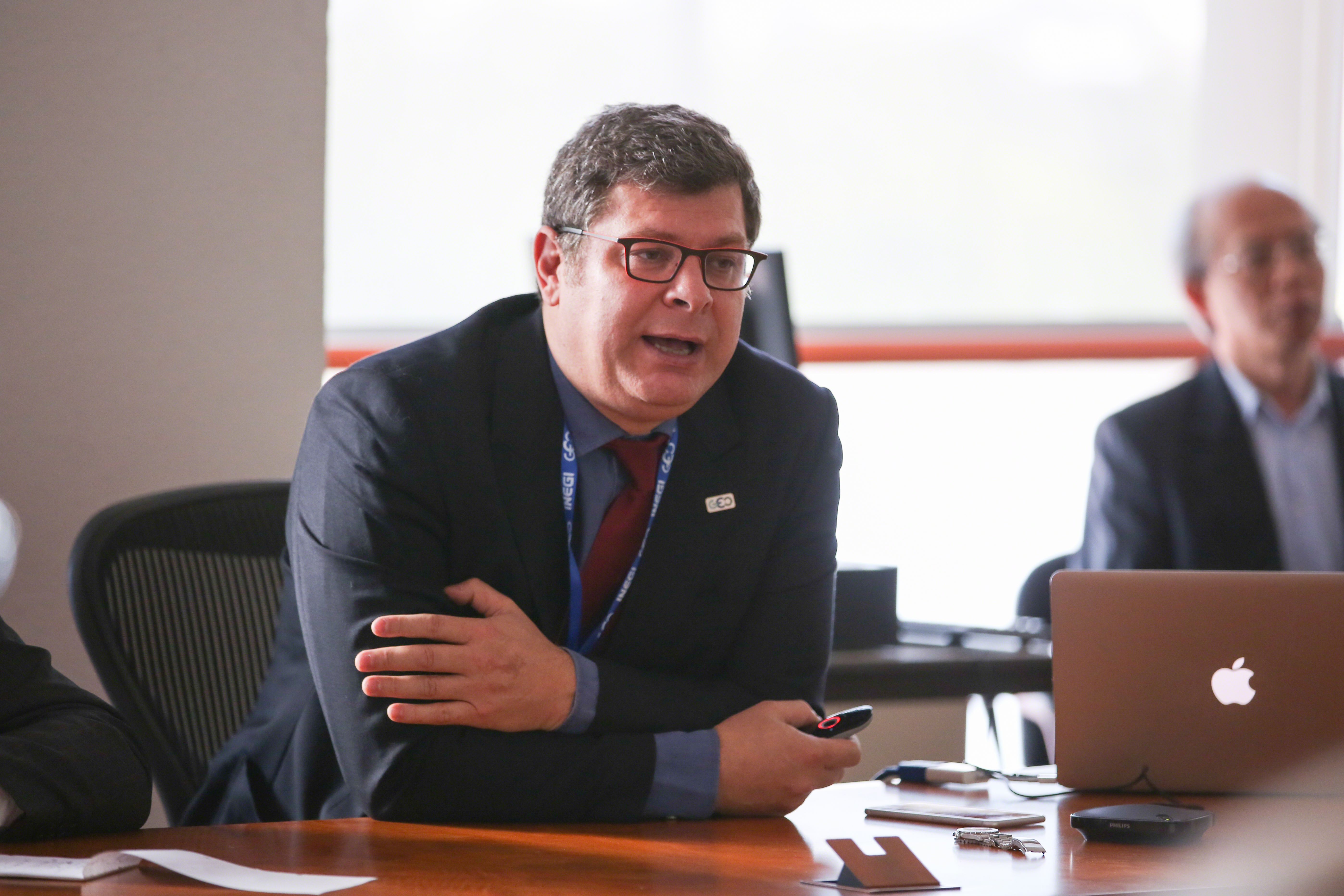
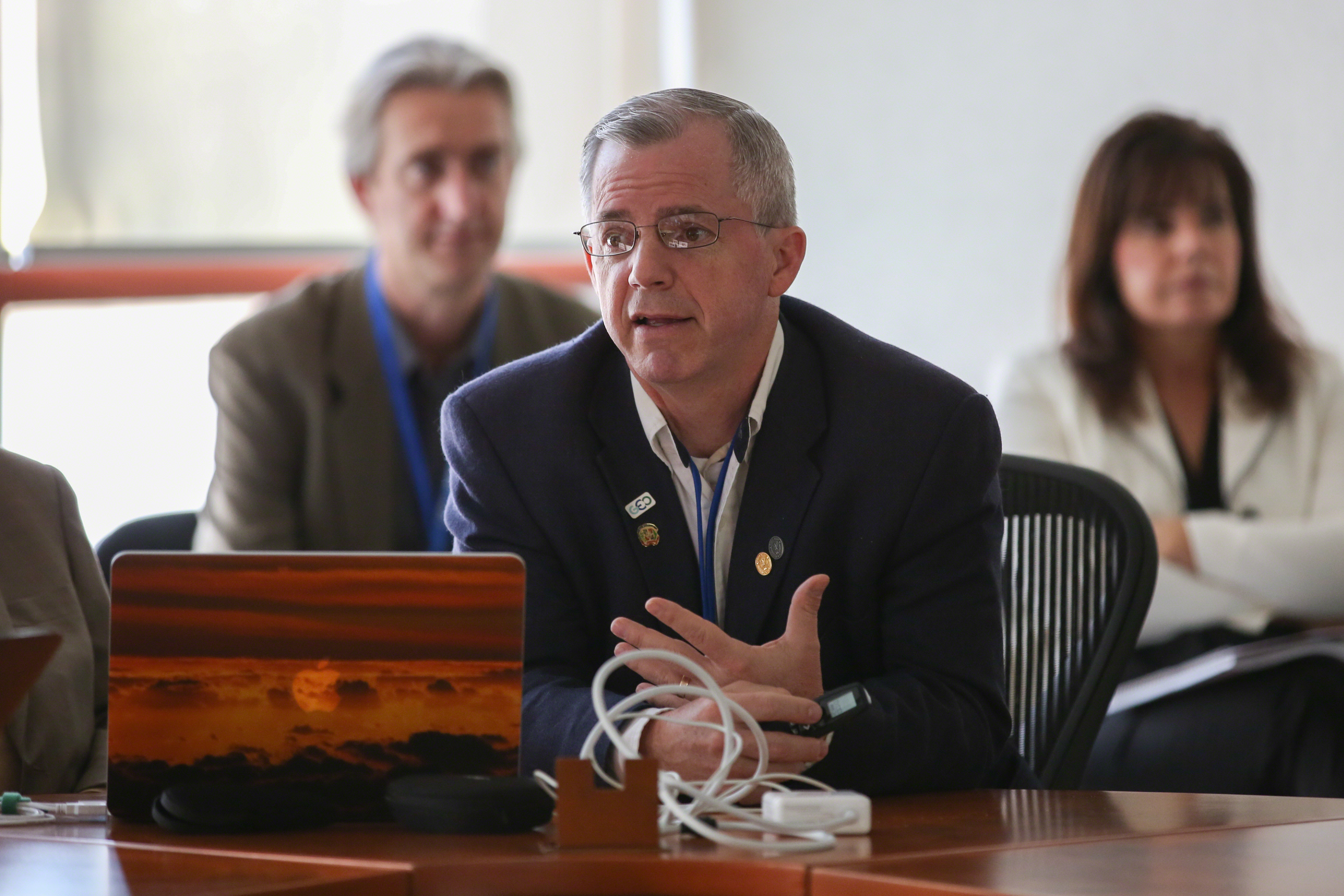
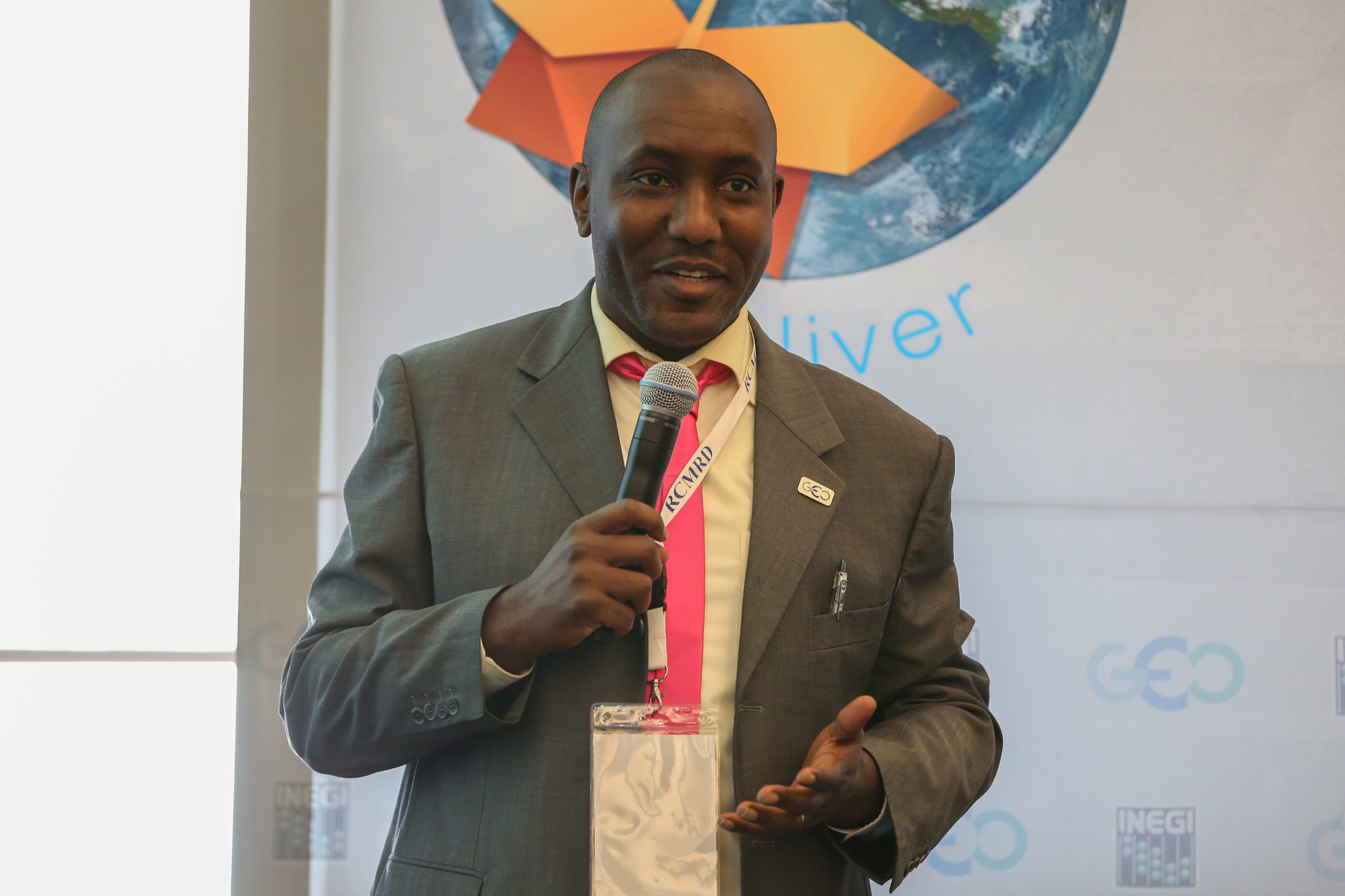
Roger Sayre, US Geological Survey, presented on commonalities in global land cover datasets and underscored the challenges of crosswalking different land classification classes.

In the roundtable discussion, participants suggested, inter alia, that: new portals should avoid duplication and focus on harmonization; the SDGs provide an opportunity to produce data that serve to address food insecurity and hunger; carrying out a reinterpretation of legends of land cover classifications in consideration of new user needs; and facilitating more structured dialogue between data users and providers.


Gary Geller, GEO Secretariat, called for participants to approach the side event by focusing on the discussion, rather than on the details of existing data.

Greg Scott, UNSD, said it will be important to ensure involvement in the SDG process, so as to be relevant in areas outside of the sciences.

Alan Belward, European Commission, said over time there has been finer spatial resolution and map fusion.

More Information:

www.earthobservations.org

Contacts:

Gary Geller, GEO Secretariat
ggeller@geosec.org


Strengthening Regional Capacity Building Initiatives in Earth Observation

Organized by the Faculty of Geo-Information Science and Earth Observation (ITC) of the University of Twente, the Netherlands


Participants during the side event

Moderator Freek Van der Meer, ITC, presented ITC’s work and noted the aims of the session to: provide an overview of capacity building in Earth observations by regional organizations; develop a shared vision; and consider “the last mile” of capacity building activities in the user community.

Byron Anangwe, Regional Centre for Mapping of Resources for Development (RCMRD), Kenya, described his organization’s advocacy role, facilitating communication between scientists, politicians and citizens, including simplifying analyses of complex datasets. He highlighted three key principles: knowledge management; indigenous knowledge; and understanding the relationship of best practices to appropriate knowledge and practices.

Ruud Grim, Netherlands Space Office, presented the G4AW programme on Earth observation use for agricultural purposes. He pointed to success factors common to 14 projects already funded by G4AW, including, a well-identified market and user-focused solution.

Rolf de By, ITC, provided an introduction to the STARS project using remote-sensing technology to improve agricultural practice in Sub-Saharan Africa and South Asia. He was followed by presentation from three STARS partners. Imbal Becker-Reshef, University of Maryland, US, presented the STARS project for observation in support of agricultural decisions and policy in Uganda and Tanzania. Sibiry Traore, International Crops Research Institute for the Semi-Arid Tropics (ICRISAT), presented on challenges in African smallholder agricultural monitoring with very high resolution remote sensing. He explained the Unlocking the Potential of Land for On-farm Agriculture Development with Information Technology (UPLOAD-IT) project, and emphasized the need to look at other observation models that already work and figure how to bundle in imagery services from remote sensing. Urs Schulthess, International Maize and Wheat Improvement Center (CIMMYT), discussed insights gained from doing research on farmers' fields with an unmanned aerial vehicle (UAV), concluding that UAVs are a key enabling tool for integrated monitoring of bio-physical plant and soil parameters.

Tom Veldkamp, ITC, discussed “capacity building 2.0,” regarding ITC's efforts to move from capacity building in its traditional sense to developing global capacity through “collaborative capacity building.”


Freek Van der Meer, ITC, the Netherlands, spoke about ITC’s aim to build capacity for economic development in the developing world.

Byron Anangwe, RCMRD, Kenya, described four key challenges for Sub-Saharan Africa: availability of fundamental datasets; institutional frameworks; funding; and human resource capacities.


Rudd Grim, Netherlands Space Office, underscored the need for projects to create a direct impact to the user.

Imbal Becker-Reshef, University of Maryland, US, stressed the critical need for improved timely, reliable within season monitoring and forecasts for informing agricultural decisions.

More Information:

www.itc.nl

Contacts:

Freek Van der Meer, ITC
f.d.vandermeer@utwente.nl


AmeriGEOSS Town Hall

Organized by AmeriGEOSS


Participants during the side event

Diana Quimbay, Institute of Hydrology, Meteorology and Environmental Studies (IDEAM), Colombia, opened the session by emphasizing the four priority areas of the AmeriGEOSS initiative: agriculture; disaster risk reduction; water; and biodiversity and ecosystem monitoring. She also highlighted five main activities of the six AmeriGEOSS working groups (WGs): engaging stakeholders; fostering regional cooperation; coordinating across WGs; mapping activities of POs in the region; and defining and monitoring indicators of success.

On the Agriculture and Food Security WG, Ricardo Quiorge, IDEAM, underscored key aims, including, to support the second SDG and to develop a Latin American Regional GEOGLAM. He highlighted plans to continue development of the Rangeland and Pasture Productivity sub-initiative.

On the Water Resource Management WG, Angelica Gutierrez-Magness, NOAA, pointed to the WG’s aims to support ensuring availability and sustainable management of water and sanitation for all (SDG 6), and to provide a regional response to issues of water services and management of water resources.

Mike Gill, Aboriginal Affairs and Northern Development Canada, spoke on the goals of the Biodiversity and Ecosystems WG, underscoring a key activity to support the development of a Regional Marine Bon (mBON) and noting that AmeriGEOSS provided an opportunity for coordination.

On the Disaster Risk Reduction WG, Francisco Javier Jiménez Nava, National Institute of Statistics and Geography (INEGI), Mexico, noted work to: support the Sendai Framework’s first priority of understanding disaster risk; prioritize disaster risks based on regional vulnerability; and assess and engage ongoing GEO activities for application to regional risks.

On the Foundational Activities WG, Quimbay highlighted the need to pay attention to infrastructure and capacity, making note of ongoing activities, including GEONETCast Americas, Charter and GEO GNOME. Juan Carlos Fallas, National Meteorological Institute, Costa Rica, explained the GEONETCast Americas project in Costa Rica.

In the ensuing discussion participants highlighted: the link between oceans and the initiative’s four priorities, in particular disaster risk reduction (DRR); areas of linkages with WMO, including on climate change and DRR; and the need to be cautious of overdesigning governance, recognizing structures that are already in place that AmeriGEOSS could link with.


Diana Quimbay, IDEAM, Colombia, presented AmeriGEOSS, describing it as a cooperative effort, aligned to the GEO priority objectives, that reflects local, national and regional interests of the country members.

Ricardo Quiorge, IDEAM, Colombia, spoke on the Agriculture and Food Security Working Group.

Angelica Gutierrez-Magness, NOAA and AmeriGEOSS, presented the aims of the Water Resource Management Working Group.


Juan Carlos Fallas, National Meteorological Institute, Costa Rica, spoke about the GEONETCast Americas project in Costa Rica.

Francisco Javier Jimenez Nava, Francisco Javier Jimenez Nava (INEGI), Mexico, presented the aims of the Disaster Risk Reduction Working Group.

Mike Gill, Aboriginal Affairs and Northern Development Canada, noted key goals of the Biodiversity and Ecosystems Working Group.

More Information:

www.earthobservations.org

Contacts:

Ricardo Quiroga, IDEAM
geoscolombia@gmail.com


Around the Venue


Participants during one of the side events


Participants register for the event

Delegates network throughout the day


Paintings of the former foreign ministers of Mexico line the corridors


Daily Web CoverageAbout | 9 Nov | 10 Nov | 11 Nov | 12 Nov | 13 Nov | Summary
Funding for coverage of the GEO-XII Plenary & Mexico City Ministerial Summit
has been provided by the GEO Secretariat
GEO