See more coverage of this event on the main IISD ENB website

We have launched a new website to better share our reports of global environmental negotiations.

As well as current coverage of new negotiations, you can find our original reports from this event by clicking here.

Share on Facebook Share on Twitter Share on Google Plus

12th Plenary Session of the Group on Earth Observations (GEO-XII)
and GEO 2015 Mexico City Ministerial Summit

9-13 November 2015 | Mexico City, Mexico


Highlights for Tuesday, 10 November 2015

Download ENB+ Meeting Report

Report:
Summary

Receive our ENB+ bulletins and reports by email:

Photo Usage Information
Sustainable Development Policy & Practice
Loading...

Receive emailed updates with the news articles above plus related information and announcements from our SDG community mailing list:

Daily Web CoverageAbout | 9 Nov | 10 Nov | 11 Nov | 12 Nov | 13 Nov | Summary

One of the marble statues in Ministry of Foreign Affairs, Mexico City

IISD Reporting Services, through its ENB+ Meeting Coverage, has provided daily web coverage and a summary report from the 12th Plenary Session of the Group on Earth Observations (GEO-XII) and GEO 2015 Mexico City Ministerial Summit. Our summary report is available in HTML or PDF format.


Sustainable Development Goals (SDGs): Earth observations in Service of Global Development

Organized by GEO Secretariat, Committee on Earth Observation Satellites (CEOS), Member Countries


Participants during the SDG session


The event, moderated by Lawrence Friedl, NASA, US, discussed the pathways for Earth observations to support the SDGs, and the dedicated GEO initiative on the SDGs (GI-18), which aims to address GEO support to countries, including on SDG tracking and reporting.

Enrique Ordaz Lopez, National Institute of Statistics and Geography (INEGI), Mexico, and Inter Agency Expert Group (IAEG) on SDGs Indicators, presented the process for the definition of indicators for the SDGs and targets, emphasizing the leadership role of national governments. He underscored the potential role of geospatial information to enhance the effectiveness of indicators.

Greg Scott, UN Statistical Division (UNSD), emphasized that critical data for policymaking are lacking and that Earth observation and geospatial information can effectively support monitoring a variety of aspects of the 2030 development agenda.

In presenting the activities of the Global Working Group on Big Data for Official Statistics, Arnold Dekker, Commonwealth Scientific and Industrial Research Organisation (CSIRO), Australia, noted that Earth observations are becoming more sophisticated and map more variables at higher frequency, and stressed the need for more dialogue between CEOS, GEO and UNSD communities.

In a session on perspectives from nations, development banks, and international bodies, Ania Calderón Mariscal, Director General, Digital Innovation, Mexico, presented the Global Partnership for Sustainable Development Data, emphasizing its focus on: support to multi-stakeholder initiatives, building capacity to share data and filling data gaps.

In the afternoon, breakout groups convened on: roles for GEO; scope of the GI-18; partnership approach; and engagement with national statistical practices. Participants underscored inter alia: the convening role of GEO to bring together those that need information with those that possess it; that the scope of the GI-18 should be both broad and narrow, with water, disaster risk reduction and deforestation as potential good starting points; the importance of partnerships to understand the needs and expectations of developing countries and to gather feedback from end-users to improve decision making; and the disconnect between the GEO and statistical communities, suggesting a need to refocus GEO data production and communication to clearly demonstrate measuring and monitoring progress of SDGs.


Enrique Ordaz López, INEGI, stressed the role of the National Statistical Offices (NSOs) in the monitoring of the SDGs.

Greg Scott, UNSD, noted that the SDGs indicators framework will place more demand on NSOs, and that including Earth observation data could bring cost effective gains.

Arnold Dekker, CSIRO, suggested discussing how to provide support and guidance to the Global Working Group on Big Data for Official Statistics to make sense of the plethora of possibilities provided by Earth observations.

More Information:

www.earthobservations.org

Contacts:

Giovanni Rum, GEO Secretariat
grum@geosec.org


Citizen GEOSS

Organized by the European Commission (EC), Open Geospatial Consortium (OGC), and the GEO Secretariat


Bart de Lathouver, OGC, moderated the session on Citizen GEOSS

This event was co-moderated by Max Craglia, European Commission, and Bart de Lathouver, OGC.

The event opened with presentations by Michel Schouppe, European Commission, on open data sharing and open innovation, by Mark Noort, HCP International, on the citizen's perspective, and by Geoff Sawyer, European Association of Remote Sensing Companies (EARSC), on the needs of the Earth observation industry.

The event then featured live demonstrations of mobile- and internet-based applications developed for citizen-based observations and citizen use of Earth observations. Some of these were from the first call for innovative apps that address citizens' needs from MYGEOSS, the two-year European Commission project aimed at developing smart internet applications informing citizens on changes affecting their local environment, including: the Invasive Alien Species Tracker; E-Sol (air pollution awareness game); Loss of Night (citizen scientists collecting information on nighttime environment); Know Your City! (social, economic and environment indicators); GEO-MAHA (hazard alerts); Dust Storm Monitor (near real time dust storm monitoring); CALIOPE (air quality forecasting); and ScoobaSat (information for scuba divers). The winners of the Copernicus Masters and of the MYGEOSS Second Apps Competition also were announced.

Craglia discussed the results of a survey of citizen science projects' data management practice.

The event closed with a panel discussion of the challenges, opportunities and barriers for the successful exploitation of open data and the integration of citizen observations into GEOSS, including technical interoperability, data management, open access, and long-term sustainability.


Materials available to participants during the event

More Information:

www.digitalearthlab.jrc.ec.europa.eu/mygeoss

Contacts:

Max Craglia, EC JRC
massimo.craglia@jrc.ec.europa.eu


Global Human Settlement Supporting SDGs

Organized by EC Joint Research Centre (JRC)


Participants during the session

This event, opened by Martino Pesaresi, EC JRC, sought to provide a space for discussing results from the new GEO Global Human Settlement Working Group (GEO GHS WG), involving several expert presentations from partners of the WG.

Eugenie Birch, University of Pennsylvania, US, presented on the importance of urban planning to enable successful implementation of SDG 11, cautioning against implementation taking place in silos, and underscoring the need for a holistic vision of sustainable development across related sectors such as cities, housing, transport and heritage.

Chandan Deuskar, World Bank, presented recent developments in mapping urbanization, explaining that consistent data spanning several decades now exists on almost all human settlements. He underscored the great progress made in understanding cities, enabling more informed decision making. In particular, he spoke on progress made by Global Human Settlement Layer work, enabling global harmonization of detailed urban mapping to provide a global database as a global public good, and new definitions of urbanization from the EC, that assess urbanization according to urban and high-density cluster analysis.

Speaking on global surface water changes over the last 30 years, Alan Belward, EC JRC, reflected that maps are only accurate at the time they are made, since water constantly moves. He presented new water mapping techniques, incorporating data from 2.8 million Landsat scenes to dynamically map water over the past 30 years. He underscored the inextricable links between water and urbanization, suggesting that combining settlement data with water mapping would be beneficial for successful implementation of the SDGs.

Thematic presentations also took place from Alessandro Sorichetta, University of Southampton, UK, on population models; Ivan Petiteville, European Space Agency (ESA), on urban-related Earth observation application activities at ESA; and Martino Pesaresi, EC JRC, on best practices for global human settlements data use in the perspective of SDG monitoring.


Martino Pesaresi, EC JRC, presented on best practices of global human settlement data use, highlighting links to several SDGs and a roadmap for successful implementation.

Chandan Deuskar, World Bank, explained there is often a mismatch between countries’ own perception of urbanization and analysis using urban and high-density cluster assessment, noting that several countries in South Asia perceive themselves as less urbanized than World Bank analysis shows.


Eugenie Birch, University of Pennsylvania, US, underscored that SDG 11 is the only SDG to involve the spatial dimension.

Alan Belward, EC JRC, said GEO could play an important role in bringing disparate communities together to enable effective flows of knowledge.

More Information:

www.earthobservations.org

Contacts:

Martino Pesaresi, EC JRC
martino.pesaresi@jrc.ec.europa.eu


The GEO Biodiversity Observation Network (GEO BON):
Enhancing Biodiversity Observations and Products for User Needs

Organized by GEO BON


Participants during the session

Henrique Pereira, German Centre for Integrative Biodiversity Research (iDiv), opened this event.

In the keynote speech, José Sarukhán, National Commission for the Knowledge and Use of Biodiversity (CONABIO), Mexico, said CONABIO’s function is to promote and produce information from the genetic to ecosystem levels and highlighted several CONABIO products.

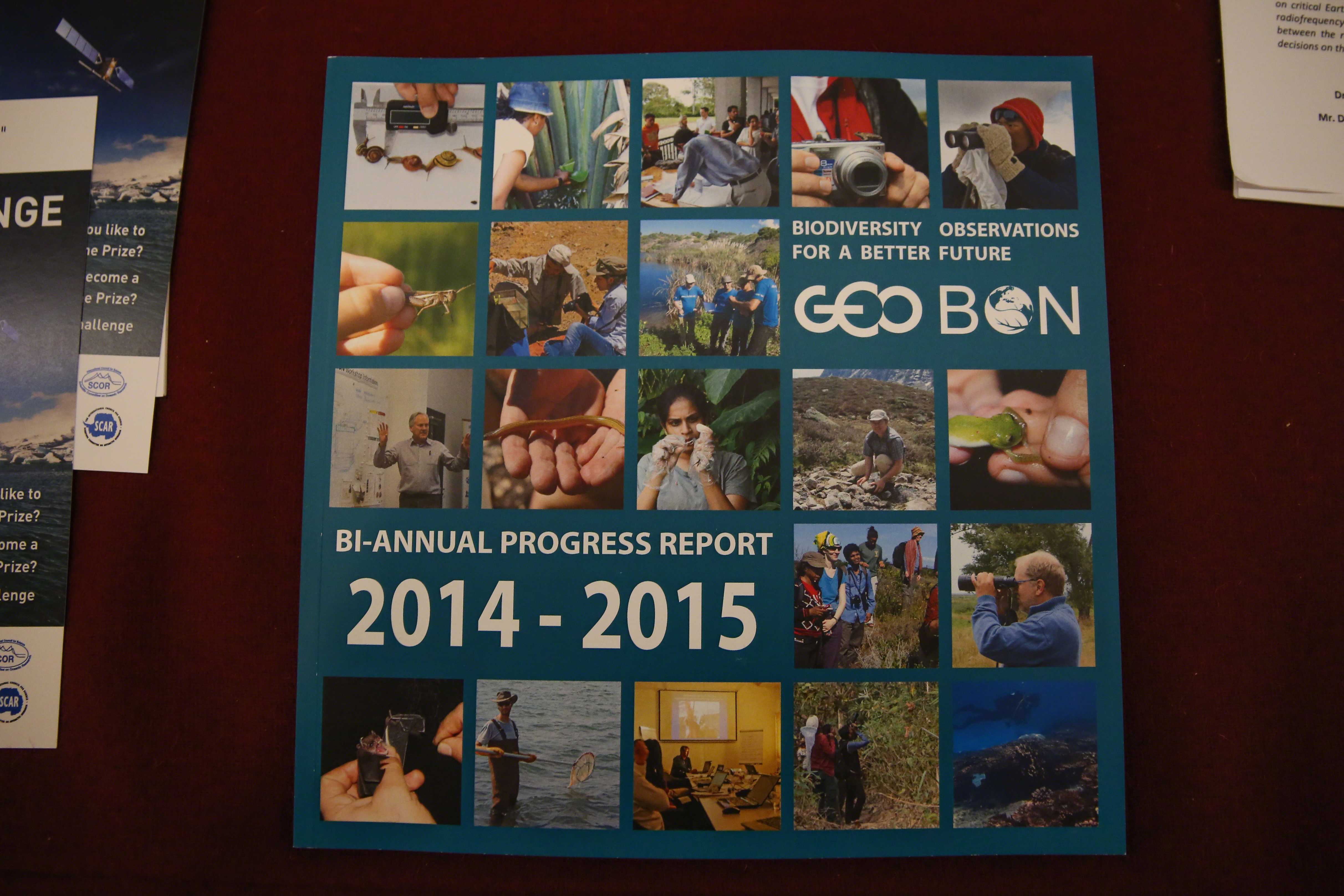
Pereira explained the rationale and development of GEO BON, and key elements of its 2014-2016 Strategic Plan.

On Essential Biodiversity Variables (EBVs), Miguel Fernandez, Bolivian Biodiversity Observation Network, explained the development process and visions for EBVs. Pereira presented on the Global Biodiversity Change Indicators developed by GEO BON and presented to the Convention on Biological Diversity in September 2015.

Ivette Serral, Centre for Ecological Research and Forestry Applications, Spain, presented on how ConnectinGEO efforts to identify gaps in essential variables in climate, agriculture, oceans and ecosystem services.

Mike Gill, Circumpolar Biodiversity Monitoring Programme (CBMP), Canada, presented the BON in a Box toolkit recently launched in Latin America. He explained that the Box is a capacity building tool, to increase the ability for national agencies or regional organizations to create new BONs. Calling the Bon in a Box a “smart tool box,” Maria Cecilia Londoño, Humboldt Institute, Colombia, noted GEO BON experts are accessible to advise and assist users in identifying the most appropriate tool for their observing and monitoring needs.

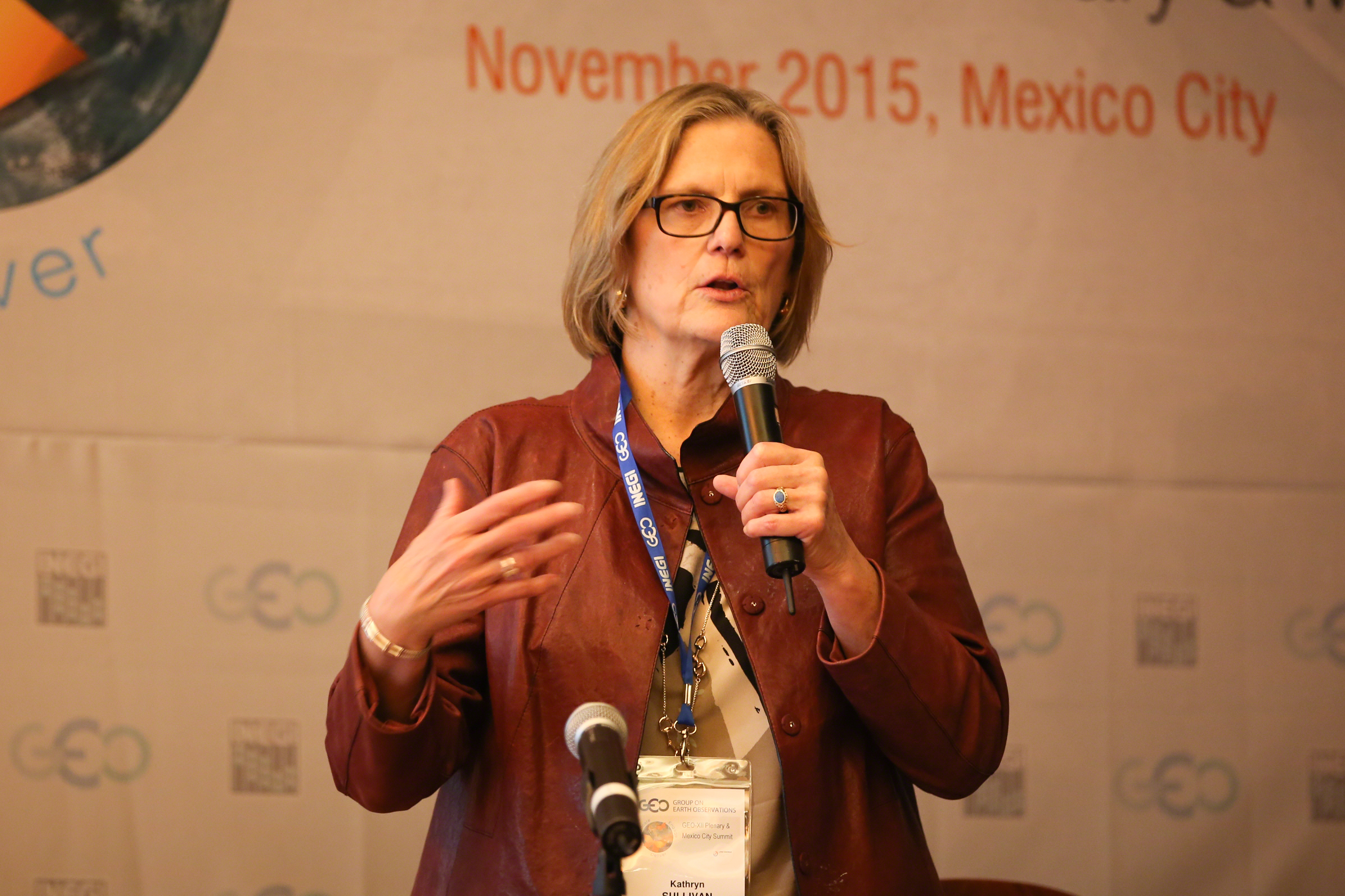
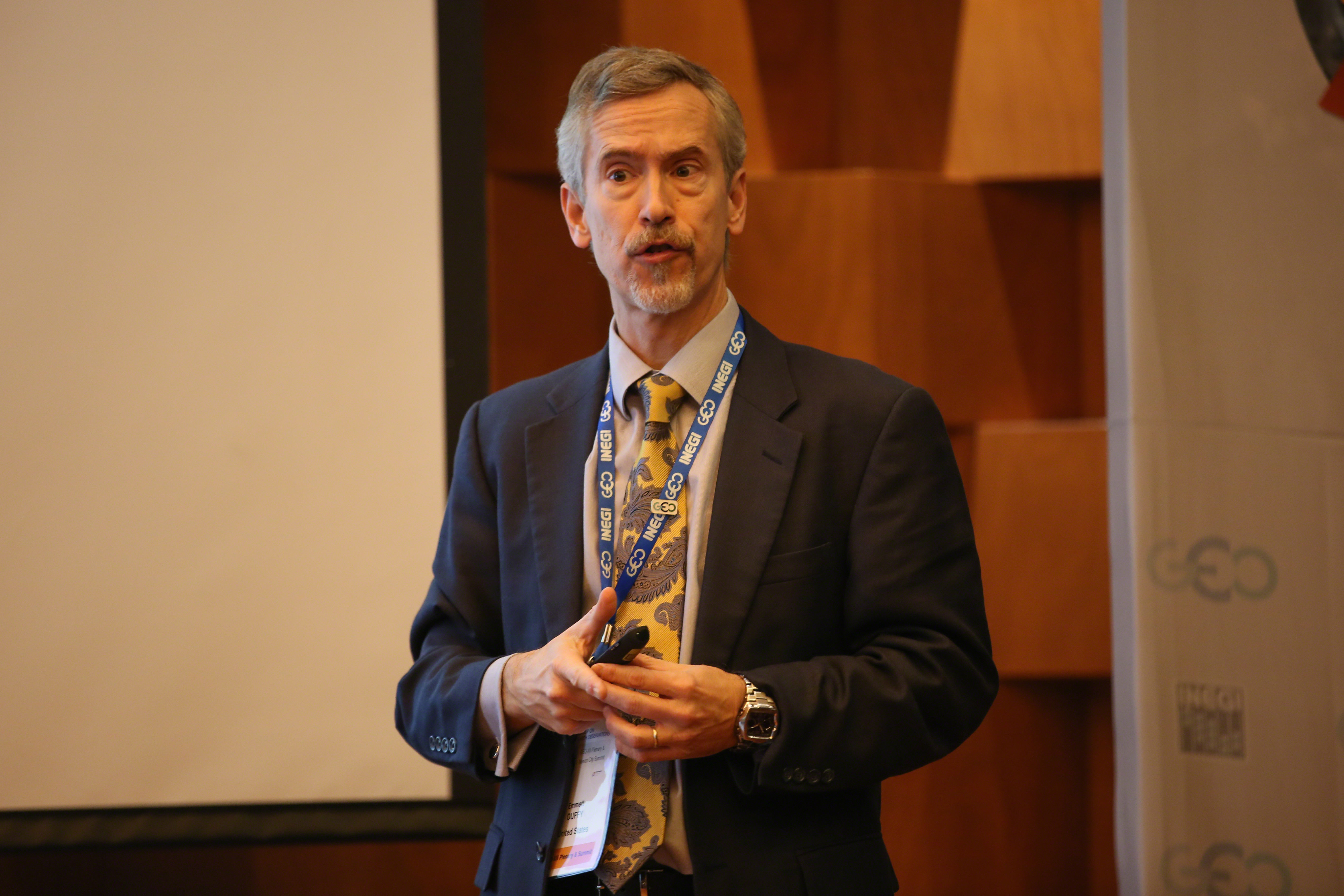
Kathryn Sullivan, Administrator, US National Oceanic and Atmospheric Administration (NOAA), opened discussion on the Global Marine Biodiversity Observation Network (mBON), predicting it would become a valuable tool for policymakers. Emmet Duffy, Smithsonian, US, provided an overview of mBON. Francisco Chavez, Monterey Bay Aquarium Research Institute, US, reviewed US examples of marine biodiversity observation networks. Mark Costello, University of Auckland, New Zealand, presented the case why GEO should prioritize mBON. Mike Gill explained the variation of BON in a Box being developed for mBON. Eduardo Santamaria del Ángel, Autonomous University of Baja California, Mexico, discussed the “Pole-to-Pole mBON” in the Americas concept intended as mBON’s first major phase.


Kathryn Sullivan, Administrator, US NOAA, said "timely, actionable and reliable information is critical to environmental intelligence."

Emmet Duffy, Smithsonian, US, said that while huge investment has gone into ocean observing systems, until US MBON and the Smithsonian's Tannenbaum Marine Observatories Network (TMON) there had been no systematic effort to observe life in the sea.


Mike Gill, Circumpolar Biodiversity Monitoring Programme (CBMP), Canada, noted that the BON in a Box connects biodiversity experts with tool developers and aims to provide data that is relevant to policy makers.

Maria Cecilia Londoño, Humboldt Institute, Colombia, presented and took participants through the toolkit webpage, highlighting aspects including: the search function, the “ask a community” tool, where users can ask experts questions, and a tool review area.

More Information:

www.geobon.org

Contacts:

Joerg Freyhof, iDiv
joerg.freyhof@idiv.de


The World Meteorological Organization (WMO) Integrated Global Observing System (WIGOS)

Organized by the WMO


Participants during the session

The event, moderated by Lars Peter Riishojgaard, WMO, discussed the WMO Integrated Global Observing System (WIGOS) concepts and activities and its links with GEOSS.

David Grimes, President, WMO, noted that WIGOS will provide an integrated platform for improved accessibility and discoverability of data.

Riishojgaard introduced WIGOS, its pre-operational phase 2016-2019, future activities, and synergies with GEOSS. He explained that WIGOS builds on the heritage of the WMO Global Observing System (GOS), “the biggest and most successful Earth observation data sharing in history.” He highlighted the Observing Systems Capability Analysis and Review Tool and the Data Quality Monitoring System as important elements of the WIGOS framework. He noted WIGOS can benefit from the convening power of GEO and conversely GEO can benefit from the experience of WMO in data sharing.

Ivan Čačić, Director, Croatian Meteorological and Hydrological Service, and Mamadou Bah, former president of WMO Regional Association I, Guinea, reported on WIGOS related activities respectively in Europe and Africa, highlighting, inter alia: collaboration among national institutions, capacity building, communication and outreach.

Osamu Ochiai, GEO Secretariat, presented on synergies between WIGOS and GEOSS. He reported on WMO participation in tasks such as ‘Bridging Ocean Communities’ and ‘Cold Regions Information,’ and highlighted WIGOS involvement in ‘Global Observing and Information Systems,’ the third proposed foundational task of GEOSS Development and GCI Operations in the 2016 GEO Work Programme.

Phil DeCola, WMO, discussed opportunities and challenges within WIGOS for Global Atmosphere Watch (GAW) and the Commission for Atmospheric Sciences (CAS), underscoring the importance of atmospheric composition measures, such as air quality, for societal benefit areas such as health.


Lars Peter Riishojgaard, WMO, explained that WIGOS allows the integration of all WMO observing systems under a common regulatory and management framework.

Mamadou Bah, former president of WMO Regional Association I, Guinea, described the identification and engagement of national partners as a key activity of WIGOS implementation in Africa.

David Grimes, President, WMO, noted that WIGOS will address the issue of scattered data by providing an integrated platform and underscored the WIGOS strong synergies with GEOSS.

More Information:

www.wmo.int

Contacts:

Lars Peter Riishojgaard, WMO
lriishojgaard@wmo.int


GEOGLAM

Organized by the GEO Secretariat


Participants during the session

Michel Deshayes, GEO Secretariat, opened the side event on GEO Global Agricultural Monitoring (GEOGLAM). Inbal Becker-Reshef, University of Maryland, US, discussed the GEOGLAM Crop Monitor programme, noting the first release of the early warning crop-monitoring programme.

Javier Aguilar Lara, Agro-Food and Fisheries Information Services (SIAP), Mexico, highlighted that 107 institutions receive images that are updated annually, through SIAP. He further explained that direct reception stations, initially used to monitor priority crops, are now being used for other projects, including a national imaging mosaic project.

Saying they do not have a satellite or space programme, Ricardo Quiroga, Institute of Hydrology, Meteorology and Environmental Studies (IDEAM), Colombia, noted Colombia’s interest in taking advantage of GEOGLAM and a particular need for improved scale of meteorological data and soil moisture and grassland and pasture monitoring.

Carlos di Bella, Argentina, noted that the Monitoring of Agricultural Production (SEPA) platform was generated to address the need to integrate, standardize, and document crop data. Considering the cross-boundary nature and similarities of land use and land cover, and climate and economy, he stressed that national and regional GEOGLAM activities should not be divided by political boundaries.

Shin-Ichi Sobue, Japan, presented on the Asian Rice Crop Estimation & Monitoring (Asia-RiCE) project, highlighting achievements related to data acquisition and provision; data analysis and information production; and research and development.

Alyssa Whitcraft, University of Maryland, US, presented on the role of the Committee on Earth observation Satellites (CEOS) in Earth observation data coordination, particularly the linkages between data acquisition and dissemination.

During the panel on GEOGLAM Implementation and Future, participants noted the need for funding to build the secretariat to improve coordination efforts and to pursue strategic promotion and engagement. One participant said the GEO Global Water Sustainability (GEOGLOWS) initiative is based off the structure of GEOGLAM, noting the overlap of agricultural water use between the two.


Carlos di Bella, Argentina, suggested the development of a Latin America GEOGLAM, aimed at strengthening regional coordination, developing national capacities, and creating workshops and task groups in order to exchange experiences.

Javier Aguilar Lara, SIAP, Mexico, noted a national mosaic project, which includes over 600 thousand satellite images and has produced eleven national mosaics.

Inbal Becker-Reshef, Univerisity of Maryland, US, discussed the GEOGLAM Crop Monitor programme, noting the initiation of the national crop monitor.

More Information:

www.earthobservations.org

Contacts:

Michel Deshayes, GEO Secretariat
mdeshayes@geosec.org


AfriGEOSS

Organized by AfriGEOSS and EuroGeoSurveys


Participants during the session

Moderator Byron Anangwe, Regional Centre for Mapping of Resources for Development (RCMRD), Kenya, opened the session.

Philemon Mjwara, GEO Co-Chair, South Africa, outlined the important role played by AfriGEOSS in promoting the use of Earth observations to address challenges faced by Africa, such as climate change and food security.

Andiswa Mlisa, GEO Secretariat, reported on the progress of AfriGEOSS and underscored aims of the initiative, including, to enhance Africa’s capability to use and manage Earth observation data for decision making. On AfriGEOSS’s coordination network action area, she noted, inter alia, the aim to ensure continuous, two-way communication from national up to global levels. On the data and infrastructure action area, Mlisa underscored the importance of understanding the existing data access and dissemination infrastructure in Africa, so as to identify user requirements and gaps in order to formulate an effective action plan to improve data usage.

The event then heard reports from the Data and Infrastructure Coordination Team and the Working Group on Land Cover for Africa, followed by a series of brief reports by national programmes and regional activities on their on-going and planned activities of interest to AfriGEOSS, including from EUMETSAT, Coordination Team and the Working Group on Land Cover for Africa, Nigeria's National Space Research and Development Agency, and the Geoscience and Remote Sensing Society (GRSS).

EuroGeoSurveys and the Organisation of Geological Surveys of Africa presented on the PanAfGEO Project and efforts to explore harmonization with existing initiatives, especially in the area of mapping and training.


Andiswa Mlisa, GEO Secretariat, underscored the importance of capacity building at the national level to strengthen the effectiveness of regional programmes.

Moderator Byron Anangwe, RCMRD, outlined the interactive nature of the session and invited all participants to introduce themselves to the group.


Participants of AfriGEOSS session

More Information:

www.earthobservations.org

Contacts:

Tumisang Sebitloane, Department of Science and Technology, South Africa
tumisang.sebitloane@dst.gov.za


Around the Venue


Participants network throughout the day


Materials available for participants


Carvings and statues around the venue


Daily Web CoverageAbout | 9 Nov | 10 Nov | 11 Nov | 12 Nov | 13 Nov | Summary
Funding for coverage of the GEO-XII Plenary & Mexico City Ministerial Summit
has been provided by the GEO Secretariat
GEO