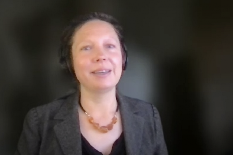
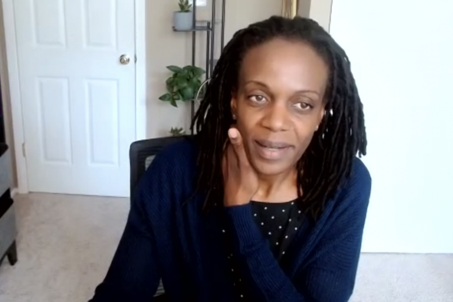
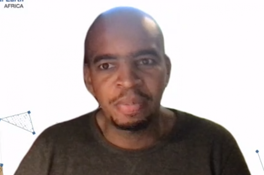
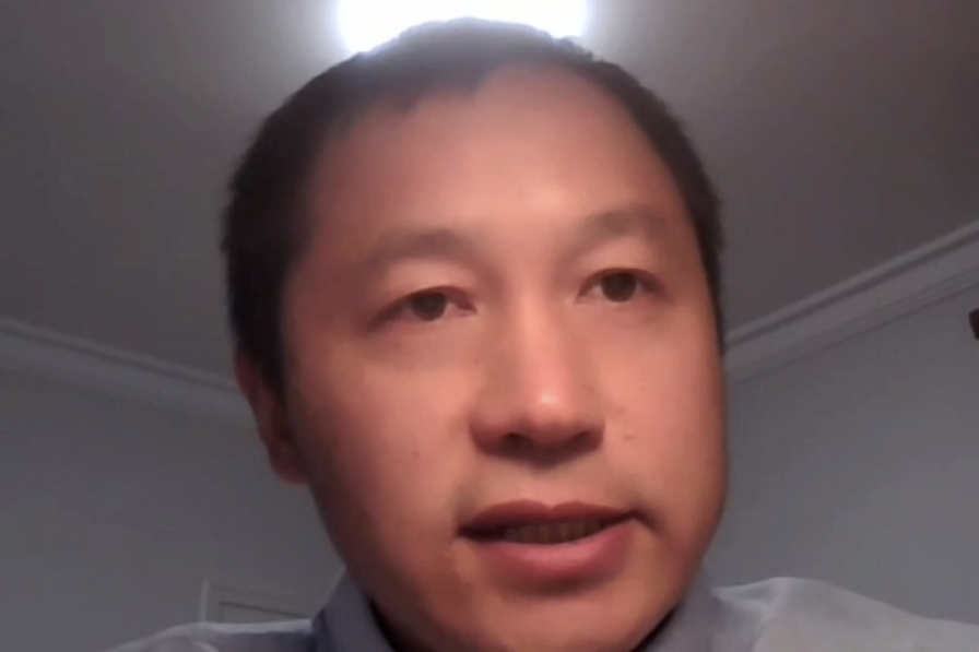
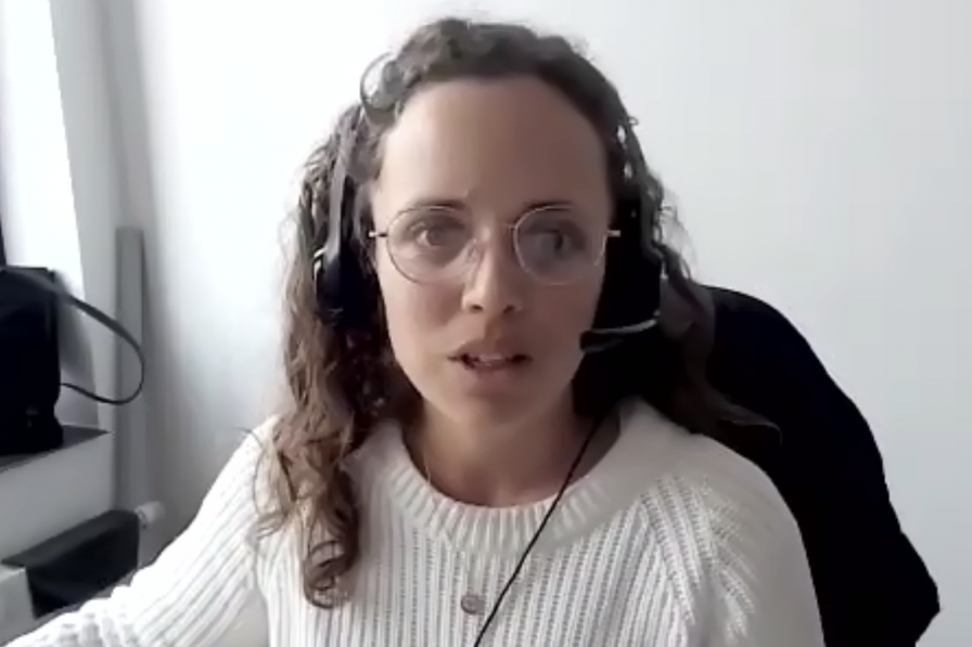
The GEO Virtual Symposium 2022 opened today under the theme “Global Action for Local Impact” to explore how the portfolio of Group on Earth Observations (GEO) products and services can provide insights and evidence for policy development and decision making. The Symposium’s purpose and theme was framed in opening remarks by the Co-Chair of the GEO Programme Board, the Director of the GEO Secretariat (GEOSEC), and a keynote speaker from the UN Development Programme (UNDP). The rest of the day featured two thematic sessions, one on examples of how Earth observations can help integrated coastal zone management (ICZM) and marine spatial planning, the other on possible applications of impact design and monitoring to GEO projects.
In the opening, Anthony Milne, Co-Chair, GEO Programme Board, stressed the important tasks and challenges facing GEO. He underscored the importance of fostering dialogue among GEO stakeholders and participants, sharing best practices and lessons learned, and providing insights that can be used in the next GEO Work Programme for 2023-2025. Yana Gevorgyan, Director, GEO Secretariat, called for considering at least four aspects in the next Work Programme, namely:
- improving the speed of transitioning from research to operations;
- ensuring the policy and decision relevance of GEO work;
- accelerating efforts to reach end users, that is, policy makers and decision makers; and
- informing action and delivering environmental and socioeconomic impact, as well as communicating the story of that impact.
Babatunde Abidoye, Global Policy Advisor, UNDP, urged diagnosing what geospatial products can best identify policy solutions that are actionable at the national and local levels, and, consequently, can help realize the 2030 Agenda for Sustainable Development and the Sustainable Development Goals.
In the session on “Earth Observation in Support of Integrated Coastal Zone Management and Marine Spatial Planning,” participants from the Intergovernmental Oceanographic Commission, UN Environment Programme, Digital Earth Africa, Pakistan’s space agency, the European Environment Agency, the Marine Biodiversity Observation Network, Blue Planet, and the Committee of Earth Observation Satellites discussed examples of projects and tools used to:
- map coastlines and the biodiversity in their ecosystems;
- plan ICZM, adaptation, and coastal conservation;
- detect erosion;
- examine changes in mangrove forests;
- monitor sea water intrusion; and
- develop early warning forecasts for wave-driven coastal flooding.
The session on “From Global Action to Local Impact: How Do We Do That?” considered how to apply an impact approach in GEO projects to achieve and demonstrate higher societal impact. Joost Teuben, GEO Secretariat, outlined steps in impact design, monitoring, and evaluation of projects. Participants from AfriGEO, Africultures, the GEO Indigenous Alliance, and the Chinese Academy of Sciences described the impact co-design, co-development and other user engagement approaches used in their projects on land use, food security, water, climate, and crop pest monitoring. The session closed with a panel discussion which agreed that:
- while describe what impact planning should be is easy, putting it into practice is much more complex;
- GEO can help participants in their impact planning; and
- to involve local communities in project co-design and co-development, first identifying the proper entry point and taking the time to fully understand communities' needs and challenges is critical.
To receive free coverage of global environmental events delivered to your inbox, subscribe to the ENB Update newsletter.
